


Farmers' Almanac: Winter will be 'teeth-chattering' cold
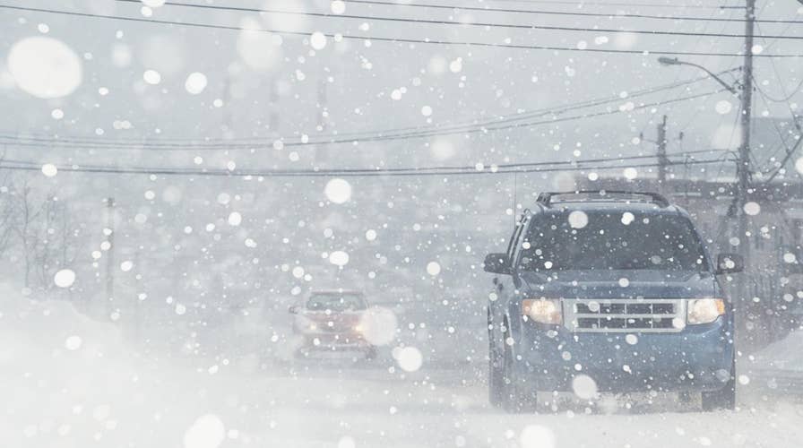
Get ready for a rough winter as The Farmers' Almanac is predicting a 'colder-than-normal' season from the Continental Divide on eastward, complete with 'teeth-chattering' cold arriving in mid-February in the Northeast, Great Lakes, and even into the Southeast.
There may still be nearly two weeks of summer officially left, but winter is making its comeback.
High-elevation areas of Utah and Wyoming saw their first snow of the season on Tuesday, while mountain locals in Nevada near Lake Tahoe also saw a taste of frozen precipitation.
The National Weather Service's Salt Lake City office tweeted the "the first fall-like storm of the season" was making its way through the state through Wednesday. The storm was bringing widespread rain and "much cooler temperatures," including a dusting of snow in higher northern mountain locations.
WINTER TO FEATURE 'POLAR COASTER' MIX OF FRIGID TEMPERATURES, SNOW: FARMERS' ALMANAC
"It begins," the NWS said in another tweet. "Showers this morning have brought some light snow to some areas above 10,000 feet, including Bald Mountain Pass in the Uinta Mountains."
A photo from a Utah Department of Transportation traffic camera showed the Bald Mountain area on the Mirror Lake Highway about 50 miles east of Salt Lake City covered in a light dusting.
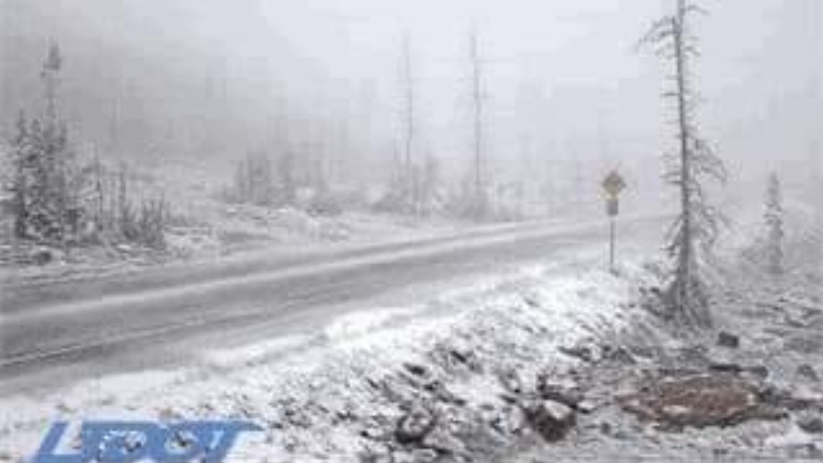
Snow can be seen falling in the Bald Mountain Pass area of Utah, located in the Uinta-Wasatch-Cache National Forest. (Utah Department of Transportation)
In Wyoming, the NWS said a "potent early fall storm" was delivering "significant" amounts of precipitation to the area through Wednesday night, including rain that is forecast to turn to snow and continue throughout the day.
FRANCE HEAT WAVES LEAVE NEARLY 1,500 DEAD, HEALTH MINISTER SAYS
Between one to three inches of snow was expected above 8,000 feet in the Teton and Gros Ventre Mountains, with four to 10 inches expected in elevations above 10,000 feet. Up to two inches of snow was also expected in Yellowstone National Park.
"Hikers and campers should prepare for winter conditions," the NWS said.
CLICK HERE FOR THE FOX NEWS APP
Further west, the NWS Reno shared a photo from a Nevada DOT camera from about 8,550 feet along Mt. Rose Highway near Lake Tahoe that showed a light coating of snow along a roadway.
"The 'S' word on MT. Rose in the Reno area!!" the NWS Elko said.
While the cool air has plunged in the region, don't expect it to stick around for long. Temperatures are forecast to climb back to and above seasonable levels by this weekend, according to AccuWeather.
The late-summer snowfall may be a sign of what to expect in the months ahead. The Farmers’ Almanac is predicting that "bitterly cold winter conditions" will be in place from areas east of the Rockies all the way to the Appalachians, with the coldest outbreak of the season arriving during the final week of January and lasting through the beginning of February.