


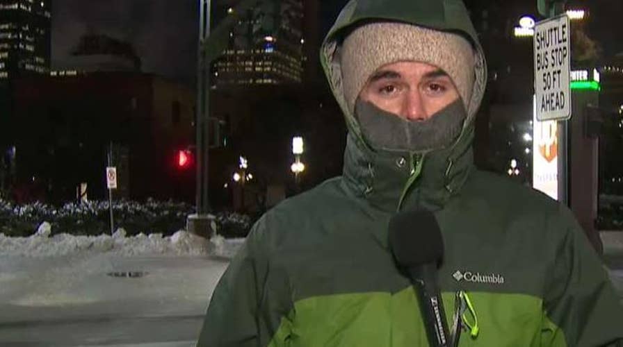
Minneapolis hit with -51 degree wind chills as polar vortex grips Midwest
Dangerous cold brings schools, airports and the U.S. Postal Service to halt; Ray Bogan reports from the Minneapolis Skyway System.
The cold winds of winter can actually make for a deadly combination for those who are outdoors and unprotected.
Winter weather that impacts public safety and transportation – such as snow, sleet, ice – typically occurs between Oct. 14 and April 14, the National Weather Service says, and meteorologists' alerts before storms inform the public of any danger.
One of the ways that forecasters alert the public during the winter months is to convey what is known as the "wind chill temperature" when dangerous conditions develop.
SNOW SQUALL WARNINGS: HERE'S WHAT'S THOSE MESSAGES MEAN
So, what does "wind chill" mean?
According to the NWS, the wind chill temperature is how cold people and animals feel when they are outside.
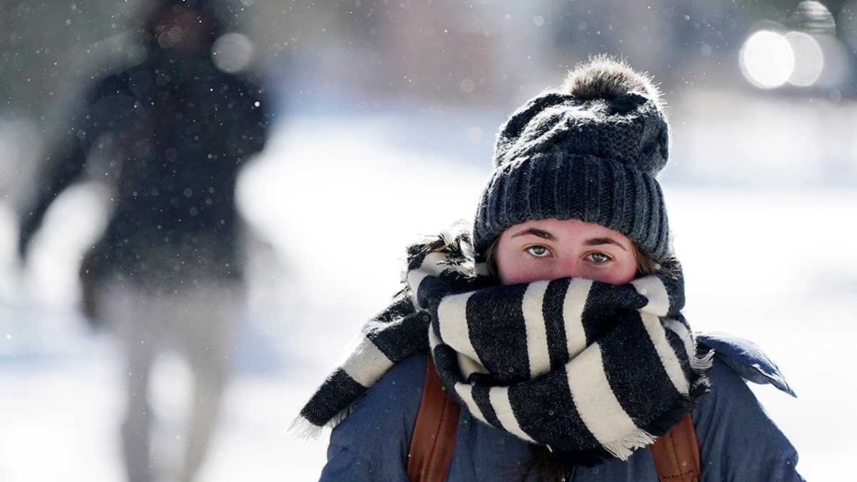
Wind chill temperatures are based on the rate of heat loss from exposed skin caused by wind and cold, according to the National Weather Service. (Anthony Souffle/Star Tribune via AP)
"Wind chill is based on the rate of heat loss from exposed skin caused by wind and cold," according to the Weather Service. "As the wind increases, it draws heat from the body, driving down skin temperature and eventually the internal body temperature."
The calculation to determine wind chill utilizes wind speed in miles per hour and temperature in degrees Fahrenheit.
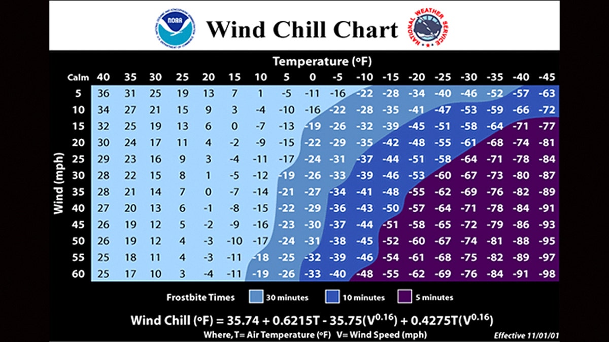
A chart showing how wind chill is calculated. (NOAA/NWS)
An example would be if the temperature is zero degrees Fahrenheit and the wind is blowing at 15 mph, the wind chill would, therefore, be minus 19 degrees Fahrenheit, according to the NWS.
WINTER STORM WARNING VS. WINTER WEATHER ADVISORY: HERE'S THE DIFFERENCE
When wind chill values drop below minus 25 degrees, forecasters say that's when frostbite is possible within 15 minutes.
CLICK HERE FOR MORE WEATHER COVERAGE FROM FOX NEWS
"Areas most prone to frostbite are uncovered skin and the extremities, such as hands and feet," according to the NWS.