


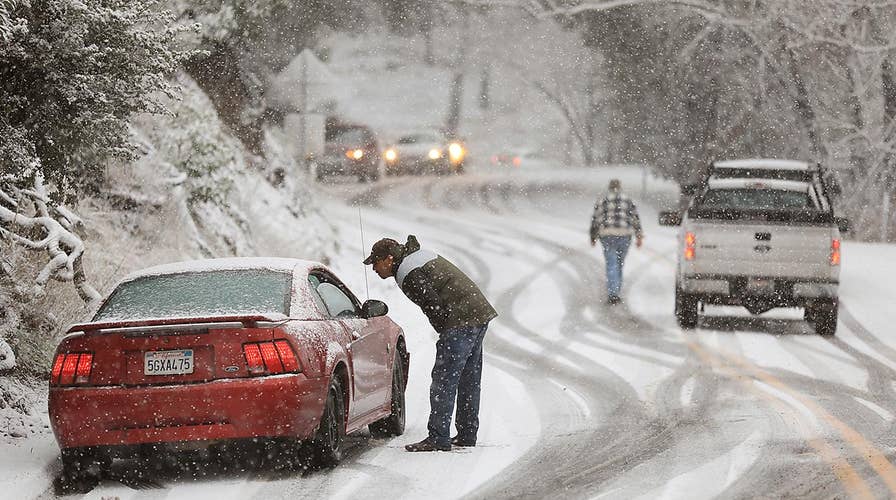
A strengthening winter storm will bring widespread snow and blizzard conditions from the Northern Plains across the Upper Mississippi Valley and into the Upper Great Lakes. Accumulating freezing rain will make travel dangerous if not impossible across the Lower Great Lakes into Northern New England.
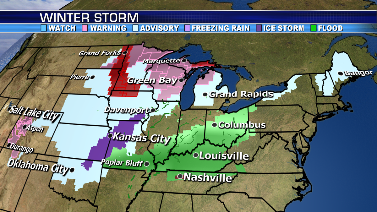
A frontal boundary draped over the central U.S. is separating the cold air and the mild air. This will be the focus point for the threat of strong to severe storms and heavy rainfall later today.


And there's another push of Arctic air forecast for the Northern Plains and Northern Rockies this weekend with more wintry precipitation expected.
