


Fox News Flash top headlines for September 1
Fox News Flash top headlines are here. Check out what's clicking on Foxnews.com.
The World Meteorological Organization forecast that it is likely the protracted La Niña event will last until at least the end of the year, becoming the century's first "triple-dip" La Niña.
The "triple-dip" spans three consecutive Northern Hemisphere winters, according to the update.
The organization predicts that there is a 70% chance in September and November that the current La Niña will continue – with that percentage gradually decreasing to 55% from December to February 2023.
The climate pattern started in September 2020.
DANGEROUS HEAT TO THREATEN WEST, BRINGING RECORD TEMPERATURES
Storm surge hits Randy Evans as a bomb cyclone system moves over the Northwest United States on Oct. 24, 2021, in Depoe Bay, Oregon. (Photo by Nathan Howard/Getty Images)
La Niña conditions in the tropical Pacific have strengthened from mid-July to mid-August.
Those conditions have affected temperature and precipitation patterns and exacerbated drought and flooding.
La Niña events push warm water toward Asia, while upwelling increases off the western coast of the Americas, bringing cold and nutrient-rich water to the surface.
The Pacific Ocean's cold water thrust the jet stream northward, tending to lead to drought in the southern U,S. and heavy rains and flooding in the Pacific Northwest.
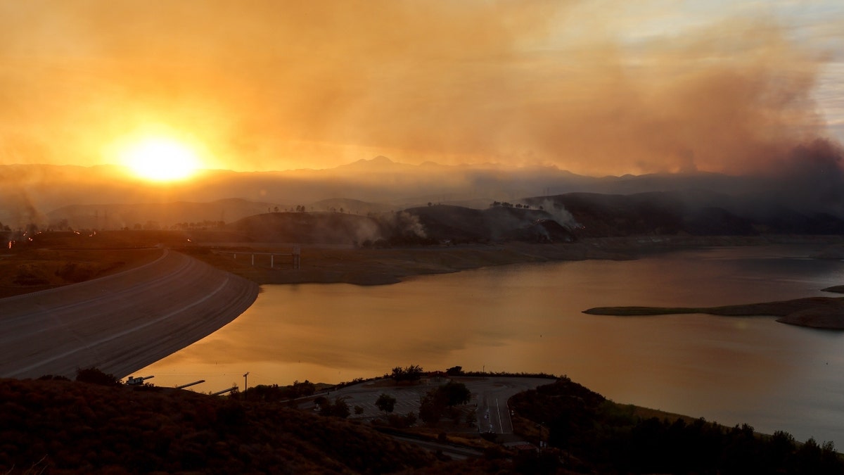
The Route Fire burns near the Castaic Lake reservoir, with a current water level of 48 percent of the historic average for today, amid ongoing drought on Aug. 31, 2022, near Castaic, California. (Photo by Mario Tama/Getty Images)
CALIFORNIA CLIMBER LEADS FIRST-KNOWN ASCENT OF ONE OF THE TALLEST SEA CLIFFS ON EARTH
Winter temperatures are warmer than normal in the South and cooler than normal in the North.
It usually has the opposite effects on weather and climate as El Niño.
However, the organization notes that all naturally occurring climate events now take place in the context of human-induced climate change.

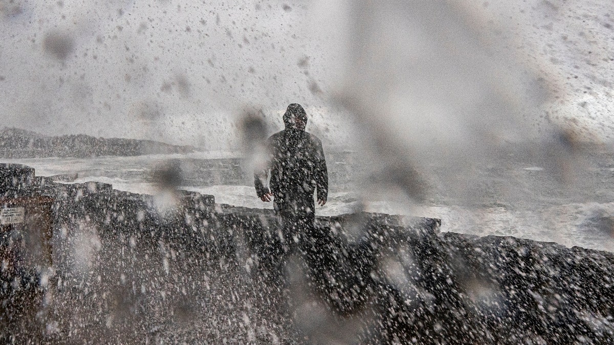
People walk through the rain and sleet in Manhattan as temperatures begin to fall on Feb. 4, 2022, in New York City. (Photo by Spencer Platt/Getty Images)
"It is exceptional to have three consecutive years with a la Niña event. Its cooling influence is temporarily slowing the rise in global temperatures – but it will not halt or reverse the long-term warming trend," WMO Secretary-General Petteri Taalas said in a statement.
CLICK HERE TO GET THE FOX NEWS APP
"The worsening drought in the Horn of Africa and southern South America bear the hallmarks of La Niña, as does the above average rainfall in South-East Asia and Australasia. The new La Niña Update unfortunately confirms regional climate projections that the devastating drought in the Horn of Africa will worsen and affect millions of people," he said.