


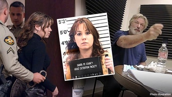
'DELINQUENT'


TEEING OFF

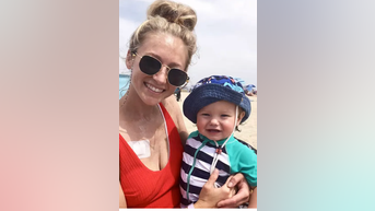
DADDY DUTY
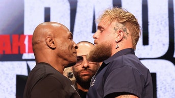
GLOVES OFF
SPORTS


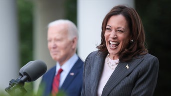
SPREAD THE WORD


THE NAKED TRUTH


CHEW ON THIS


MISSION COMPLETE


![Pelosi – a self-described “devout Catholic" – also appeared to suggest during the April 25 debate that certain Americans, who she considered to be “poor souls who are looking for some answers,” refuse to accept the answers Democrats give them on particular topics due to their beliefs about “guns, gays, [and] God.”](http://a57.foxnews.com/static.foxnews.com/foxnews.com/content/uploads/2024/05/120/68/Nancy-Pelosi.jpg?tl=1&ve=1)