
Fox News Flash top headlines for May 29
Fox News Flash top headlines are here. Check out what's clicking on Foxnews.com.
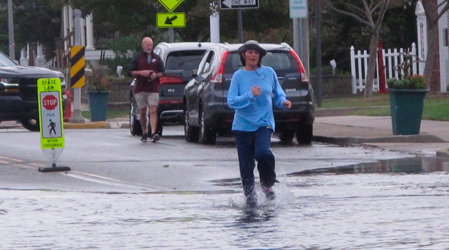
Much of the Eastern U.S. is in for a soggy Memorial Day weekend, with below-average temperatures sweeping the Central and Eastern states.
Severe weather conditions will extend over the Plains and East Coast, bringing additional thunderstorms and showers to the regions, according to the National Weather Service (NWS).
'NOTHING LOOKS GOOD' PREPARING FOR SUMMER WILDFIRE SEASON
Thunderstorms and the threat of damaging winds, large hail and isolated tornadoes are expected on Saturday in the Central High Plains as thunderstorms move over Eastern Colorado to Western Texas through the holiday.

FILE - In this March 20, 2021 file photo, Amtrak workers perform tunnel repairs to a partially flooded train track bed, in Weehawken, N.J. (AP Photo/John Minchillo, File)
The threats shift south on Sunday into Southeastern New Mexico and Southwestern Texas, with flash flooding possible over portions of the Southern High Plains.
The NWS Weather Prediction Center issued a slight risk of excessive rainfall over the High and Southern Plains on Saturday and Sunday, as well as for far South-Central Kansas.
A frontal boundary stalling along the East Coast will impact the Mid-Atlantic and Northeast through early Monday with showers, locally heavy rain and a "stiff northeast wind."
Coastal Flood Watches and advisories are in effect from Long Island, N.Y. to the Delmarva Peninsula.
NWS said that a low-pressure system is expected to develop along the frontal boundary and head towards New England on Monday, leading to drier Memorial Day for residents of the Mid-Atlantic.
However, low temperatures are also bringing a chill to the region, the Northeast, the Central Plains, the Midwest and several areas of the Ohio Valley.

To the north, temperatures in the early mornings are anticipated to dip low enough for freeze and frost worries in the Upper Midwest and Great Lakes area on Saturday.
CLICK HERE FOR THE FOX NEWS APP
And yet, excessive heat warnings and heat advisories have been issued across California's interior Sacramento Valley and Northern San Joaquin Valley for Sunday and Monday.
Throughout the Desert Southwest and the Golden State's Central Valley, temperatures are forecast to reach the high 90s and even triple digits on Sunday.

The hottest stories ripped from the headlines, from crime to courts, legal and scandal.
