


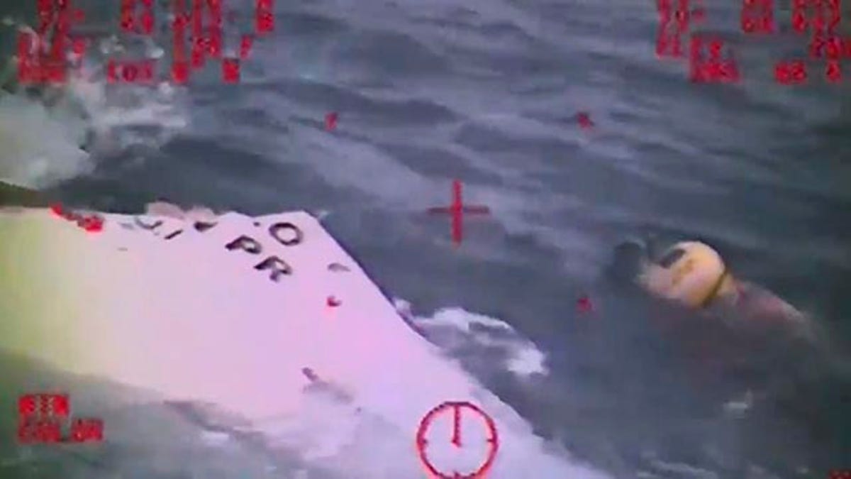
Oct. 4, 2015: In this photo made from video and released by the U.S. Coast Guard, a Coast Guard crew member investigates a life boat that was found from the missing ship El Faro. (U.S. Coast Guard via AP)
The El Faro cargo ship deviated from its normal course and was sailing at close to full speed into the path of Hurricane Joaquin before it sank, according to a published report.
Thursday's report by Reuters used tracking data to establish the U.S.-flagged vessel's path in its final hours. The data uses a ship's satellite transmissions to track its location and speed. The ship was last heard from early on the morning of Oct. 1 after its captain, Michael Davidson, reported that he had lost engine propulsion, was taking on water, and was listing. No reason was given for the loss of power.
The Coast Guard and El Faro's owner believe the ship sank in 15,000 feet of water east of the Bahamas. It was carrying 28 Americans and five Polish crew members. The Coast Guard called off a search for possible survivors Wednesday.
According to Reuters, the data shows that El Faro began deviating from its typical route between Jacksonville, Fla. and San Juan, Puerto Rico early on the morning of Sept. 30, approximately 10 hours after it left Jacksonville. By that evening, Reuters reports, the ship was trapped between the track of the storm, which had shifted further southwest during the day, and the Bahamas directly to her west. Throughout the day, the ship was sailing near full speed.
"I don't know what he was thinking. I can’t even speculate," Klaus Luhta of the International Organization of Masters, Mates, and Pilots told Reuters. "He headed right into the track."
Reuters reported that ship captains who reviewed the data believe that on the morning of Sept. 30, Davidson could have averted disaster by taking one of three options. He could have either slowed down to assess the weather, turned around and returned to port, or changed course and sailed west along the Florida coast. The ship reportedly took the Florida coast route in August to avoid Tropical Storm Erika.
According to the data, El Faro's last, best chance to avoid the storm came at 5 p.m. Sept. 30, when it sailed past the "Hole in the Wall", a gap in the Bahamas archipelago that would have taken it toward Cuba.
Early on the morning of Oct. 1, Reuters reported the tracking data showed El Faro was still traveling at 17 knots, close to 20 miles per hours, despite the eye of Joaquin being only 50 miles away. The ship's last log, shortly before 4 a.m. ET Oct. 1, showed it was traveling at 10.7 knots (12.3 miles per hour).
National Transportation Safety Board vice chair Bella Dinh-Zarr told reporters Thursday the Navy would use sonar and other means to find the 790-foot El Faro on the sea floor. She said that assuming the ship is found, Navy remote-controlled diving vehicles would be able to bring the vessel's data recorder to the surface. Dinh-Zarr said there was no definite timetable yet for the Navy work to begin.
The Associated Press contributed to this report.