
Tropical Storm Fred made landfall along the western Florida Panhandle on Monday afternoon near Cape San Blas, Florida, according to the National Hurricane Center.
NHC says Fred's maximum sustained winds at landfall are estimated to be around 65 mph.
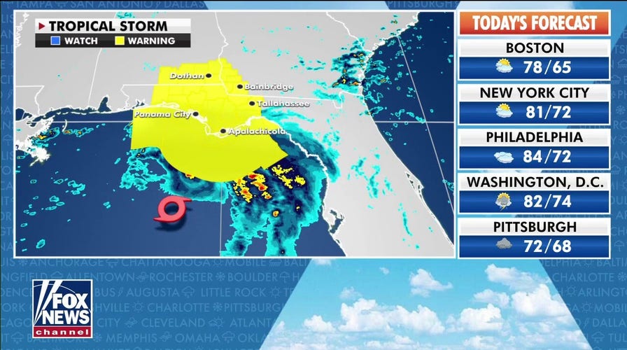
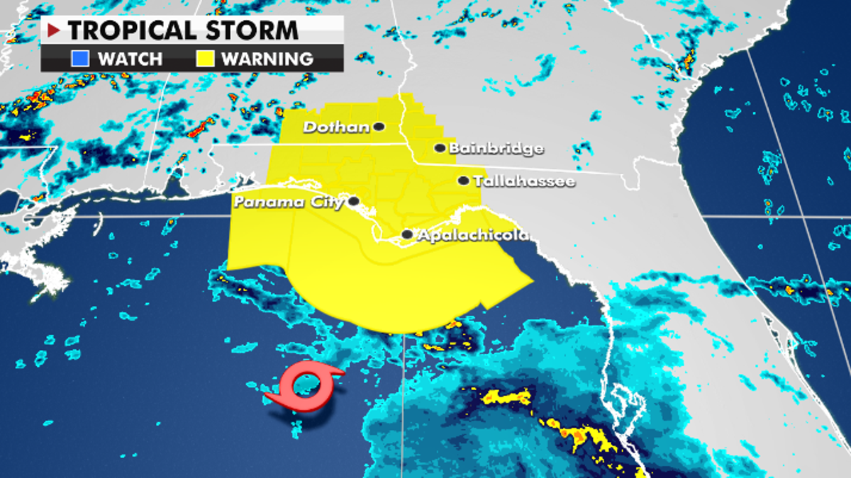
Meanwhile, a tropical storm warning is in effect for large portions of the Panhandle with tropical storm-force winds, heavy rain and storm surge all expected.
The heaviest rain will impact an area from the Florida Big Bend Coast across the Panhandle where 4-8 inches of rain with isolated storm totals of 12 inches are forecast.
Tropical Storm Warnings currently in effect. (Fox News)
FRED PROMPTS TROPICAL STORM WARNING FOR PANHANDLE
The deepest storm surge will occur along the coast near the eventual landfall location. However, the current highest storm surge forecast is of 3-5 feet from Indian Pass to Steinhatchee River, Florida.
Once onshore, Fred will quickly weaken. Despite that, high rainfall totals are expected along its path into Alabama and Georgia. Rainfall totals in these areas will range from 4-7 inches with isolated spots seeing 10 inches through Tuesday.

Forecast rainfall totals through Wednesday. (Fox News)
Following Saturday morning’s earthquake, Haiti has more trouble on the way.
Tropical Depression Grace will run over or near Haiti on Monday night and Tuesday morning, where rainfall totals of 5-10 inches are likely.
CLICK HERE TO GET THE FOX NEWS APP
Heavy rain plus recent damage could produce mudslides.
Grace will continue west toward the Gulf of Mexico and the Yucatan Peninsula by late week.

The hottest stories ripped from the headlines, from crime to courts, legal and scandal.
