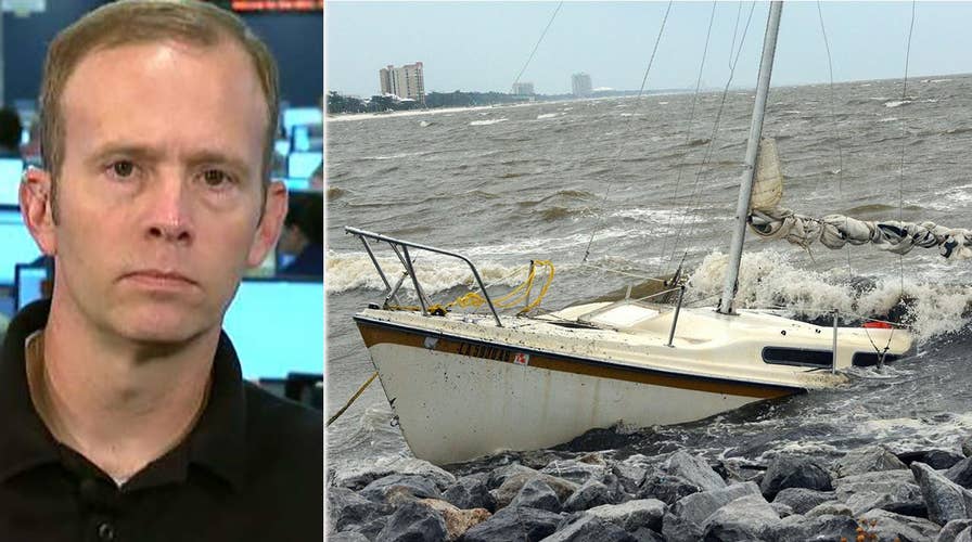
Brock Long on FEMA's response to Hurricane Nate
FEMA administration provides insight on 'Fox & Friends' about latest relief efforts.
Nate was the first hurricane to make landfall in Mississippi since Katrina devastated the region in 2005 – but it spared much of the areas already ravaged by hurricanes earlier this year.
The storm, which has since been downgraded to a post-tropical cyclone, brought heavy rainfall, flooding and power outages to the U.S. Gulf Coast over the weekend. It continued to dump rain on the East Coast as it made its way north.
Earlier Friday, the storm hit Central America, leaving at least 22 people dead.
Here’s what you need to know.
Where is Nate now?
Nate is about 20 miles southwest of Akron, Ohio, and 85 miles northeast of Columbus, Ohio, according to the National Hurricane Center's 5 a.m. ET Monday advisory, its final advisory for the post-tropical cyclone.
The storm has maximum sustained winds of 20 mph and was moving northeast at 60 mph.
Flood warnings are in effect for parts of the southern and central Appalachians.
The National Hurricane Center said the central Appalachian and mid-Atlantic regions can expect modern to heavy rainfall with additional rain showers stretching into the Carolinas. Moderate to heavy rainfall is also expected in the Ohio Valley, lower Great Lakes, mid-Atlantic and northeast regions.
What else do you need to know?
The federal government declared emergencies in Alabama, Florida, Louisiana and Mississippi ahead of the storm. But while it left 22 people dead after it tore through Central America and Mexico’s Yucatan Peninsula, Nate wasn’t as intense as Hurricanes Maria, Harvey and Irma were.
"We are thankful because this looked like it was going to be a freight train barreling through the city," said Vincent Creel, a spokesman for the city of Biloxi, Mississippi.
The Associated Press contributed to this report.


