


Tropical storm warning issued for parts of the Gulf Coast
Adam Klotz has more on Tropical Storm Gordon.
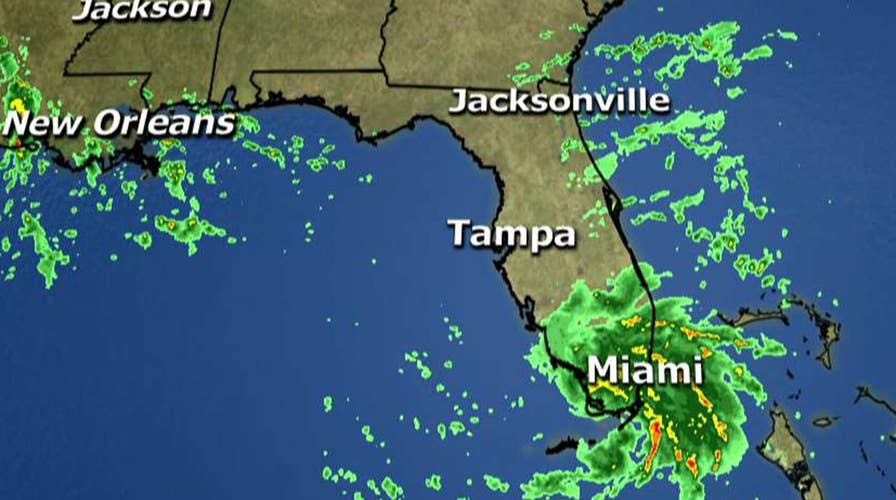
Tropical Storm Gordon was already battering South Florida on Monday as meteorologists issued tropical storm warning for the region from the Florida Keys to the upper Gulf Coast.
Periods of heavy rain were expected to continue Monday through the late afternoon with a possibility of flooding, gusty winds and isolated tornadoes, according to the National Weather Service.
“It’s not expected to be a hurricane, winds will be there around 45 miles per hour, mostly it’s going to be a rainmaker for a lot of these areas,” Fox News Channel Meteorologist Adam Klotz said.
The NWS said in its 8:30 a.m. EDT advisory the storm was centered 20 miles west of Key Largo and 85 miles southeast of Marco Island.
The storm was moving west-northwest at 17 mph. Maximum sustained winds were clocked at 45 mph with most of the rain centered on the Miami area.
Rain is the main concern as South Florida is expected to get 2-4 inches Monday with 4-6 inches on the Gulf Coast.
A Storm Surge Watch is in effect for a portion of the Mississippi-Louisiana border issued by the National Hurricane Center in Miami
Tropical Storm Gordon is the Atlantic basin’s seventh named storm of the year, expected to approach the northern Gulf Coast Tuesday.
The Associated Press contributed to this report.