


Fox News Flash top headlines for February 29
Fox News Flash top headlines are here. Check out what's clicking on Foxnews.com.
This week's tornado outbreak across parts of the Midwest produced a short-lived tornado that swept through northwest Indiana before moving onto Lake Michigan as a waterspout, the National Weather Service said.
An EF-1 tornado with peak winds of 90 mph touched down about 9:15 p.m. Tuesday in Lake County, Indiana, about 1 mile east of the city of East Chicago, said Zachary Yack, a meteorologist with the weather service’s Chicago office.
SEVERE THUNDERSTORMS, TORNADOES STUN MIDWEST AMID BIZARRE FEBRUARY STORM SURGE
The storm was on the ground for about three minutes, moving along the Cline Avenue industrial highway just north of the Gary/Chicago International Airport before it moved onto Lake Michigan and became a waterspout about 3 miles northwest of Gary, he said.
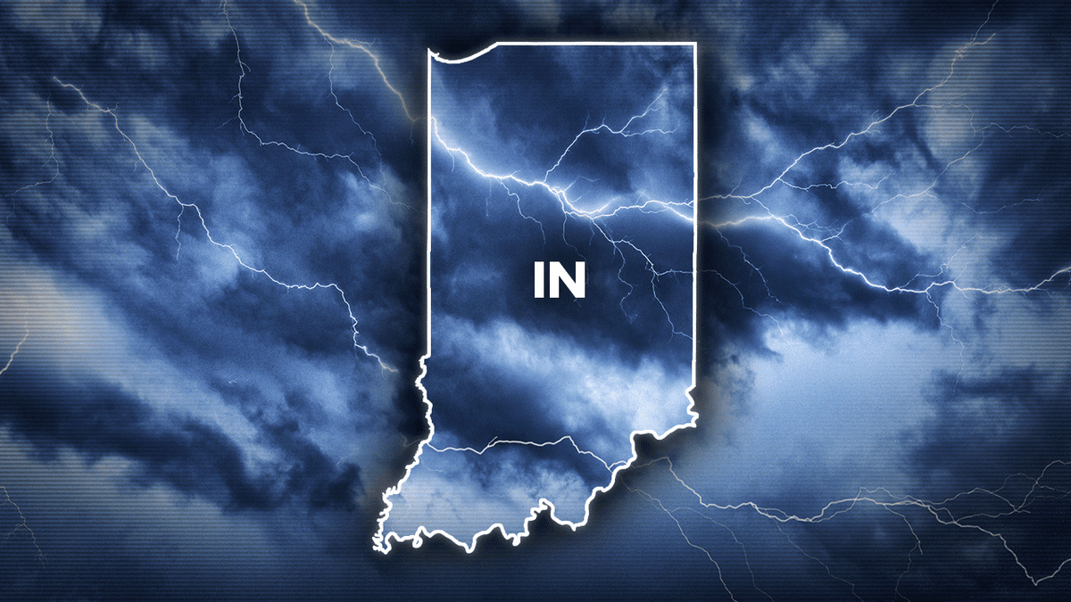
A short-lived tornado was reportedly spotted in northwestern Indiana amid a recent spate of violent weather in the Midwest.
Yack said the storm had a maximum width of 75 yards and it damaged trees and wooden utility poles, some of which were snapped by its winds. No injuries were reported.
The tornado outbreak between Tuesday evening and early Wednesday came after a stretch of summerlike, sometimes record temperatures, producing nearly two dozen confirmed or suspected tornadoes in Illinois, Indiana, Michigan and Ohio.
The weather service confirmed 11 tornadoes in northern Illinois, including 10 in the Chicago area.
Yack said that February tornadoes periodically touch down in the five counties of northwest Indiana that the weather service's Chicago office covers.
CLICK HERE TO GET THE FOX NEWS APP
"It's not terribly common, but it's not super rare, either," he said.