


Good morning everyone!
We’ve got quite a bit of weather this Wednesday. On top of inches of rain, the flood threat continues across portions of the South with more heavy rain in the forecast today:
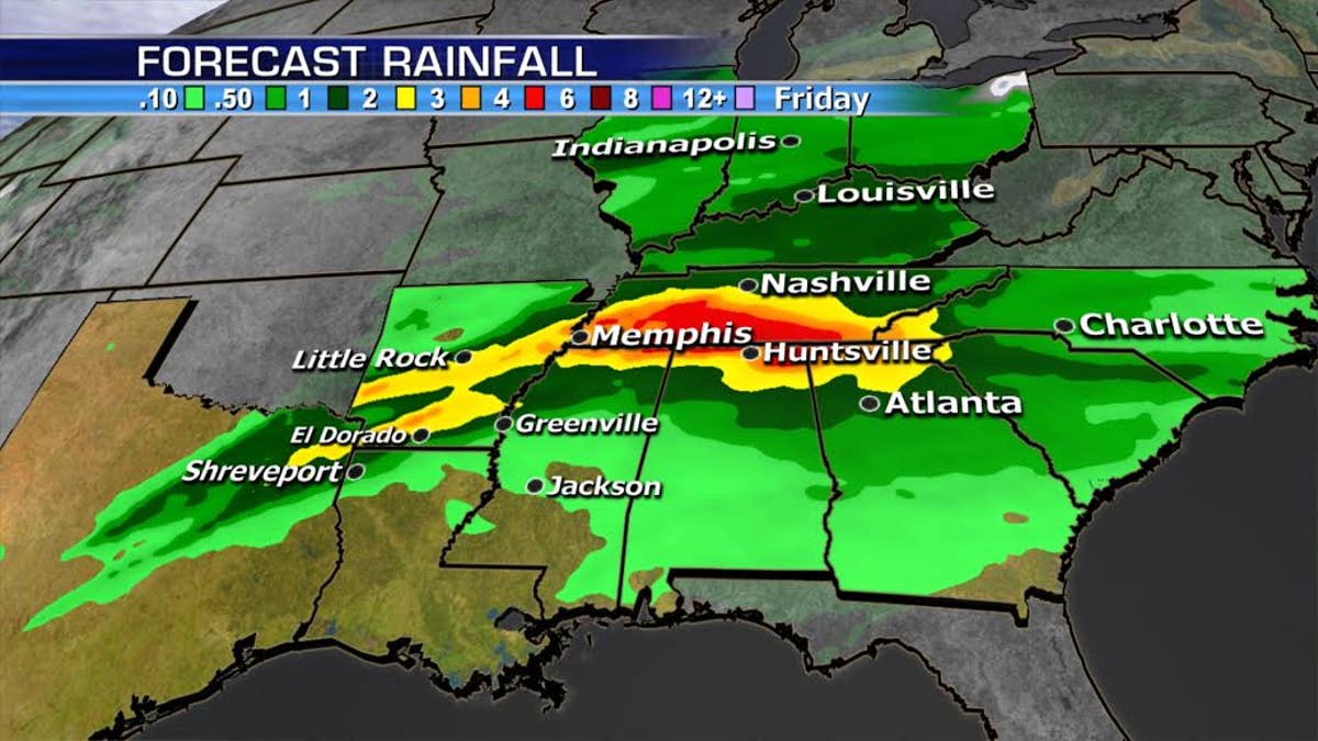
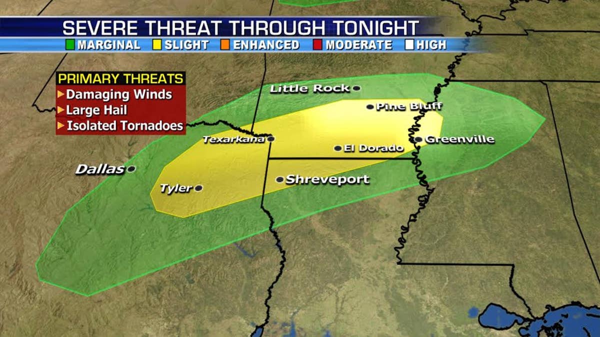
There is also the added threat of severe storms for the lower Mississippi River Valley. Large hail, damaging winds and isolated tornadoes will be a risk through Wednesday night.
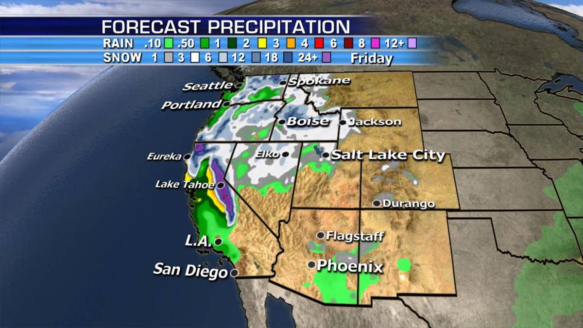
As one system in the west moves over the Four-Corners region, another moves onshore in Northern California and the Northwest, eventually spreading into Southern California on Thursday. Flooding across the burn areas will be possible.
And we’ll start the month of March with a Nor’easter Thursday/Friday. Part of the energy across the South is going to move up the coast and bring a coastal low off the Northeast.
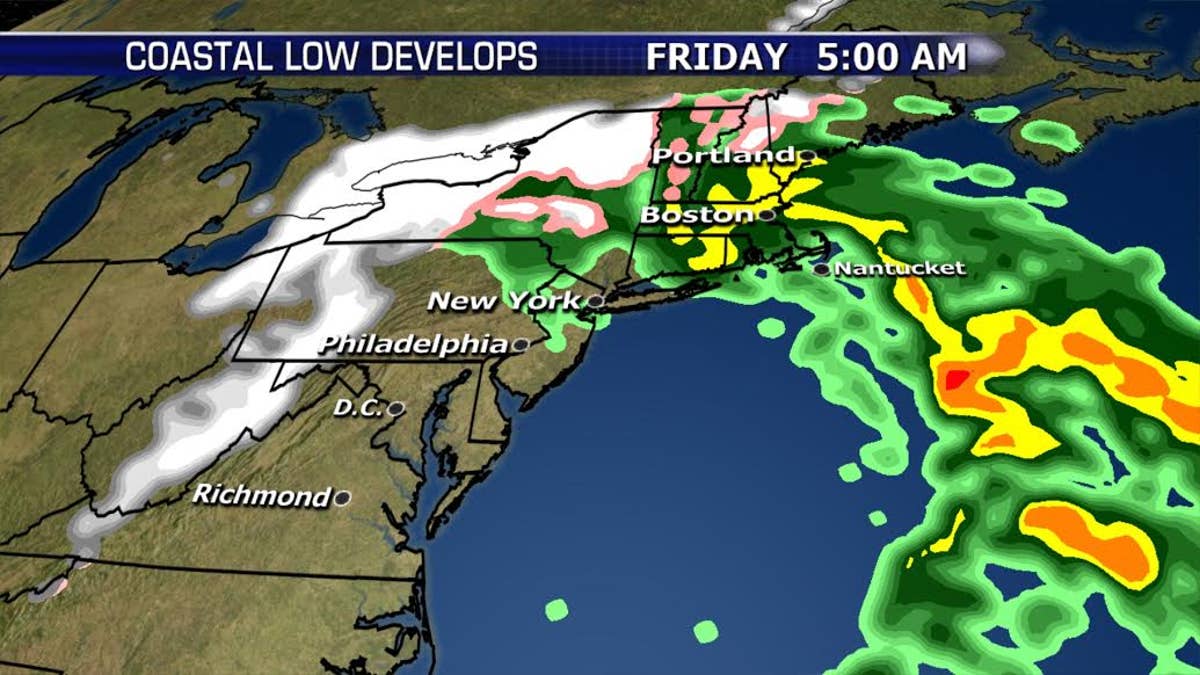
The storm will bring primarily rain, wind, and flooding to immediate coastal areas, while snow will fall across the interior where temperatures will be colder.
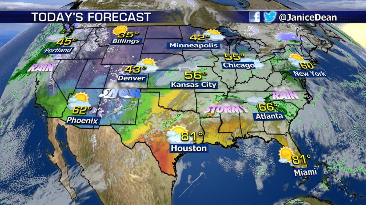
Here’s a look at your National Forecast:
Have a great day everyone!
JD