


Fox News Flash top headlines for September 9
Fox News Flash top headlines are here. Check out what's clicking on Foxnews.com.
Beachgoers at North Carolina's Cape Hatteras National Seashore are being instructed to avoid part of the beach until early next week as Hurricane Earl heads away from Bermuda.
The hurricane is forecast to become a powerful post-tropical cyclone on Saturday, with rip current threats continuing across the western Atlantic through the weekend.
On Friday, the National Weather Service said swells generated by Hurricane Earl are affecting Bermuda and the East Coast.
The swells were expected to reach Nova Scotia and Newfoundland on Friday night and Saturday.
STILL A LONG WAY TO GO AFTER SLOW START TO HURRICANE SEASON: 'TOO EARLY TO WAVE VICTORY FLAGS'

Hurricane Earl over the Atlantic (NOAA NWS National Hurricane Center)
"These swells are likely to cause life-threatening surf and rip current conditions through the weekend," the agency said.
Cape Hatteras National Seashore said visitors should forgo the beach between the north end of Rodanthe and South Shore Drive.
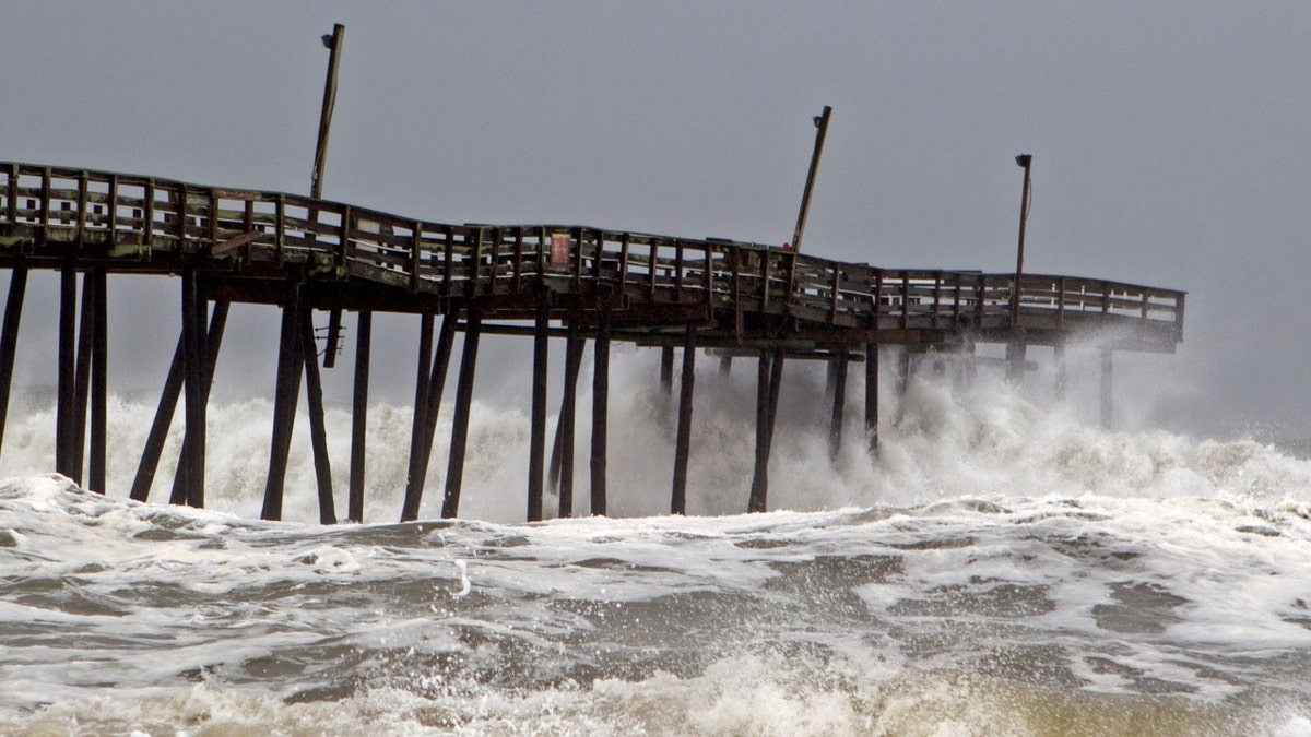
Waves crash on Rodanthe Pier as Hurricane Dorian hits Cape Hatteras in North Carolina on Sept. 6, 2019. (Photo by Jose Luis Magana/AFP via Getty Images)
HURRICANE EARL BRINGS RIP CURRENT THREATS TO EAST COAST
"Avoiding the approximately two-mile stretch of beach is recommended due to ocean overwash, rough surf and debris from nearby houses, including open and damaged septic tanks on the beach," it said. "Additionally, house moving activities are occurring on multiple properties near the beach."
Hurricane Earl had produced ocean overwash on beaches there since Thursday.
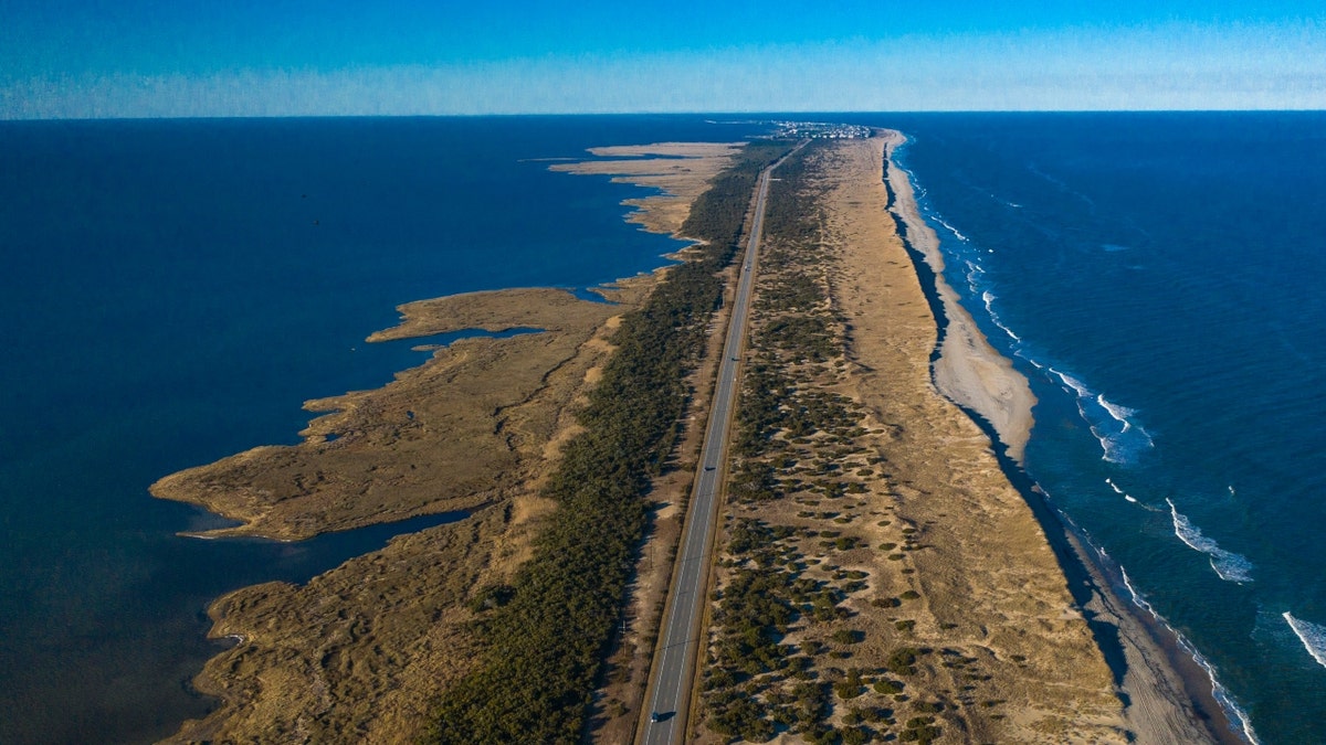
Drone aerial view of Outer Banks Highway 12 with the Atlantic Ocean and Sound on both sides, Cape Hatteras National Seashore. (Photo by: Visions of America/Joseph Sohm/UCG/Universal Images Group via Getty Images)
CLICK HERE TO GET THE FOX NEWS APP
Ocean conditions are forecast to improve early next week.