


Fox News Flash top headlines for Jan. 9
Fox News Flash top headlines for Jan. 9 are here. Check out what's clicking on FoxNews.com
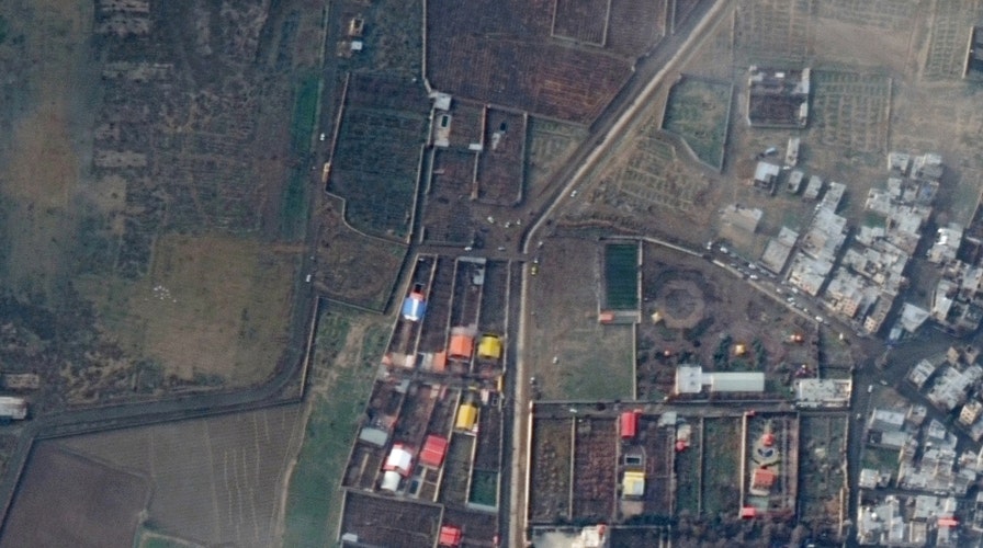
Satellite images show the debris field of the Ukrainian passenger plane that crashed shortly after takeoff from Tehran’s international airport Wednesday, killing all 176 people on board.
The images were released by satellite company Maxar Technologies on Thursday.
SATELLITE IMAGES SHOW SOLEIMANI FUNERAL CROWDS THRONGING STREETS OF TEHRAN
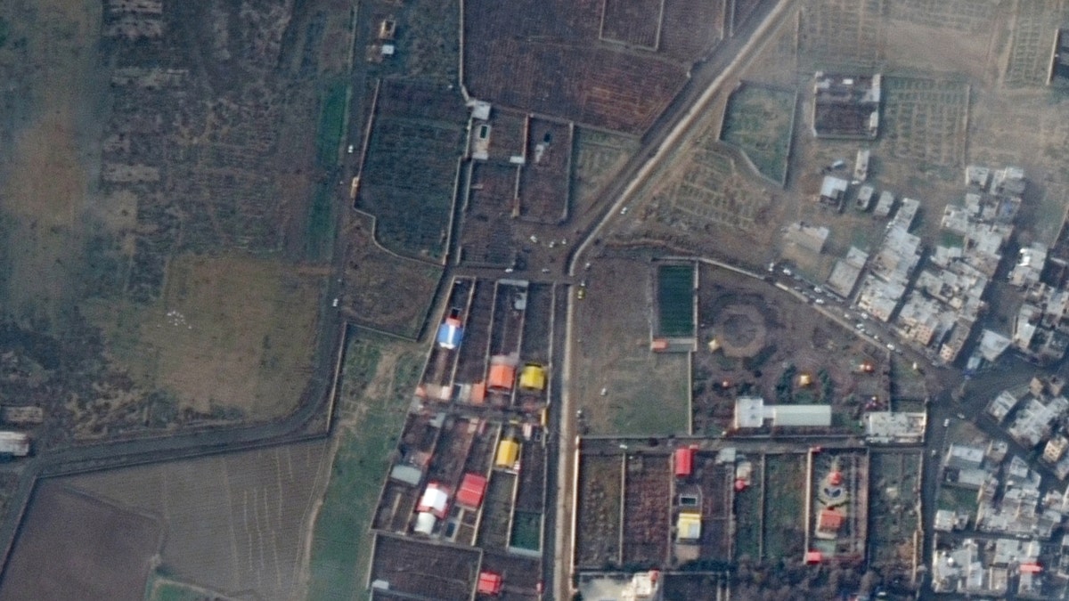
A satellite image of the crash site. (Satellite image ©2020 Maxar Technologies)
“Two of Maxar’s satellites collected new imagery today of the crash location of the Ukrainian passenger airplane near Khalaj Abad, Iran,” Maxar said, in a statement emailed to Fox News. “The images were collected first by our WorldView-2 satellite (at approximately 10:34 AM, local) and then again by our WorldView-1 satellite (at approximately 1:47PM local). In the imagery, and particularly the color infrared view of the crash site, a lengthy debris field and burned area can be seen. Search/recovery and accident investigation-associated vehicles can be seen nearby.”
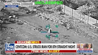
The crash came just a few hours after Iran launched a ballistic missile attack against Iraqi military bases housing U.S. troops amid a confrontation with Washington over the U.S. drone strike that killed an Iranian Revolutionary Guard general last week.
SATELLITE IMAGES SHOW PROTESTS AT US EMBASSY IN BAGHDAD
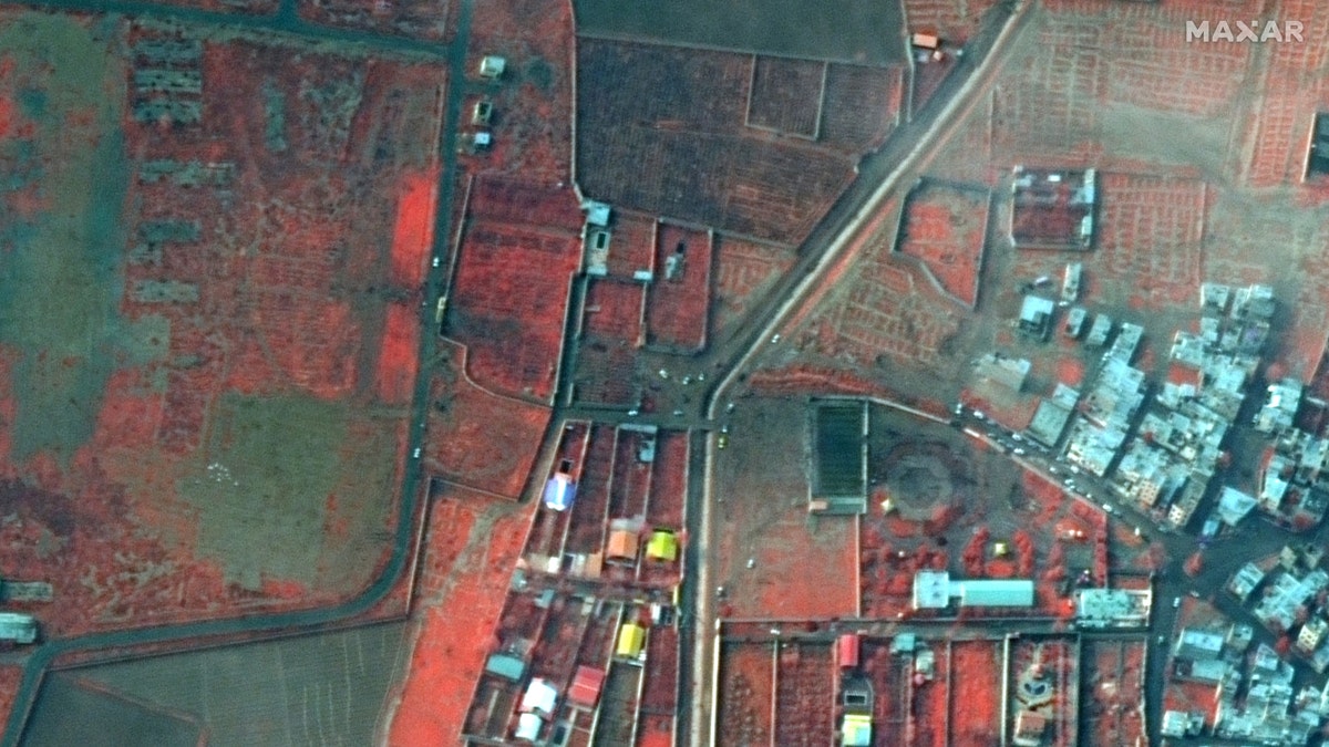
Infrared satellite image of the crash site.(Satellite image ©2020 Maxar Technologies)
Pentagon officials told Fox News that the plane was shot down by mistake by an Iranian anti-aircraft missile.
CLICK HERE TO GET THE FOX NEWS APP
The crash caused a massive explosion when the plane hit the ground, likely because the aircraft had been fully loaded with fuel for the flight to Kiev, Ukraine.
Fox News’ Greg Norman, Lucas Tomlinson and the Associated Press contributed to this article.
Follow James Rogers on Twitter @jamesjrogers