


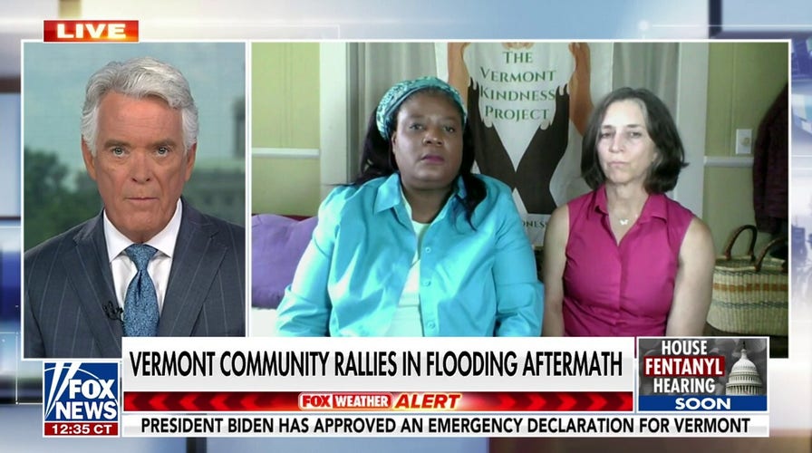
Vermont residents describe devastation from flash floods: 'Our new normal'
Montpelier, Vermont, residents Kimberly Pierce and Shanda Williams join 'America Reports' to explain how the flash flooding has impacted the community.
The Northeast on Monday will receive a bit of a break from recent extreme flooding, but the chance for rain and thunderstorms will move in on Tuesday.
There is also the setup for strong to severe storms stretching from the Midwest over the Ohio Valley.
The areas most likely to experience severe weather Monday are centered around Iowa and Nebraska and Kentucky, Northern Tennessee, Southern Illinois and Southern Indiana.
In the Northeast Tuesday, areas close to New York’s eastern border are likely to face a flash flood threat.
PENNSYLVANIA FLASH FLOOD LEAVES 4 PEOPLE DEAD, 4 OTHERS MISSING
The national forecast for Monday, July 17. (Fox News)
Smoke from wildfires burning in Canada also will drift into a portion of the U.S. stretching from the Northern Plains into the East Coast over the next few days.
Air quality alerts are in effect in Minnesota, Iowa, Illinois, Michigan, Indiana, Kentucky, Tennessee, Ohio, North Carolina, Pennsylvania, New York and Vermont on Monday.
ONE-THIRD OF AMERICANS ADVISED TO TAKE CAUTION DUE TO EXTREME HEAT
Where wildfire smoke will linger in the U.S. (Fox News)
The thickest smoke is expected to linger over upstate New York’s Adirondacks region.
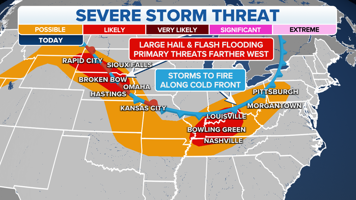
The severe storm threat for Monday, July 17. (Fox News)
CLICK HERE TO GET THE FOX NEWS APP
Meanwhile, the persistent, crushing dangerous heat remains a very big concern from the West Coast to the Southern U.S. and Florida.
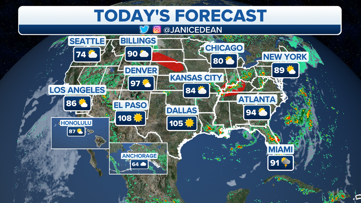
Temperatures are forecast to hit 115 degrees in Phoenix today, 113 in Las Vegas, 104 in Salt Lake City and 100 in Denver.
Fox News’ Greg Norman contributed to this report.