Tropical Storm Colin barreled toward Florida's Gulf coast on Monday, as forecasters and elected officials warned residents to prepare for severe weather and possible flooding.
A large portion of Florida's western and Panhandle coast was already under a tropical storm warning when the National Hurricane Center announced that a quickly moving depression had become a named storm. The center said it is the earliest that a third named storm has ever formed in the Atlantic basin.
The National Hurricane Center said the storm was moving north-northeast at 23 mph and its center was about 190 miles west-northwest of Tampa at 5 p.m. Maximum sustained winds were measured at 50 mph, with a gust of 60 mph reported in Venice, Florida.
The agency also extended its tropical storm warning northeast to Oregon Inlet, North Carolina.
The center says the storm will continue to move at a faster speed tonight into Tuesday, with the center making landfall at Florida's Big Bend this evening.
Tropical storms carry wind speeds of between 39 mph and 73 mph.
"It's going to impact most of the state in some way," Gov. Rick Scott said in a phone interview with the Associated Press. "Hopefully we won't have any significant issues here, but we can have some storm surge, some rain, tornados and some flooding."
High tide combined with Tropical Storm Colin's winds and waves pushed water into many coastal communities, Fox 13 in Tampa reported.
The communities of Holmes Beach and other Anna Maria Island locations also saw flooding along sea walls and in streets, according to Fox 13.
Schools in at least one Florida Gulf Coast county planned to dismiss students early Monday. Pasco County, which had passed out about 20,000 sandbags so far, said schools would be letting out, and it was likely that county government would shut down around noon to get people off the road by 3 p.m.
About 7,600 people are without power in the Tampa Bay area due to Tropical Storm Colin.
Duke Energy said Monday afternoon that it had 3,600 customers without electricity, while Tampa Electric Company said on its website that 4,022 people were experiencing outages.
The storm's center was expected to travel north of Tampa Bay toward the Panhandle, but it still is having effects on the populated region.
Forecasters predicted 4 to 6 inches of rain in Tampa Bay.
Scott postponed a political meeting with presumptive Republican presidential nominee Donald Trump scheduled Monday in New York so he can remain in the state capital to monitor the weather.
It is the latest in a series of severe weather events across the country, from record-breaking heat in the West, flooding in Texas and storms that are expected to cause problems in the nation's capital and mid-Atlantic region.
Scott warned residents not to simply look at the center of the storm, saying the heaviest rain will be to the east and west of it.
The National Weather Service in Mobile, Alabama, issued a flood warning for the Shoal River near Crestview and warned of possible widespread flooding in streams, creeks, and canals. Wind gusts threatened to bring down trees and branches and cause power outages.
The Georgia coast and the north Florida Atlantic coast were placed under a tropical storm watch Sunday evening.
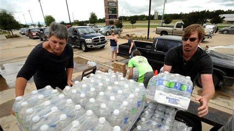
Sand bags were being distributed to residents in St. Petersburg, Tampa and nearby cities.
The Associated Press contributed to this report.


