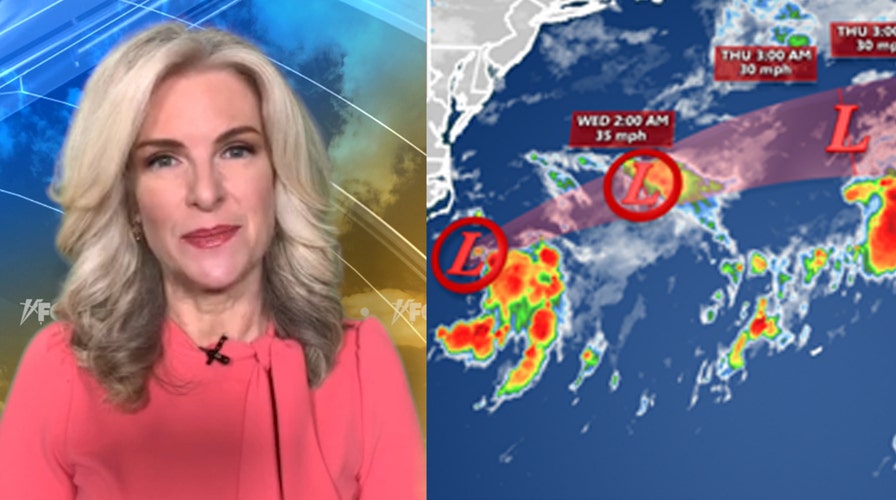
National forecast for Tuesday, September 1
Fox News senior meteorologist Janice Dean has your FoxCast.
A stalled front will bring the risk of heavy rain and flooding Tuesday as hot weather builds in areas cleaning up from Hurricane Laura.
Additional heavy rain from the Southern Plains to the Midwest will lead to the threat of flash floods through Wednesday due to the stalled front.
Flash flood warnings and watches are in effect across Oklahoma, northeast Texas and into Arkansas.
WHAT IS A FLASH FLOOD: HERE'S WHAT YOU NEED TO KNOW
Flash flooding will be a risk especially in the areas that were hit by Hurricane Laura last week where the ground is still wet.
Some locations in southern Oklahoma reported up to three inches of rainfall in an hour on Tuesday, according to the National Weather Service (NWS).

Flooding in Tishomingo, Okla. on Tuesday, Sept. 1, 2020, after heavy rains in the area. (Johnston County Emergency Management)
A number of roads were closed in the state due to flooding, according to the Oklahoma Department of Transportation.
Video from the Johnston County Emergency Management showed flooding along the shoulder of Main Street in Tishomingo, with emergency vehicles blocking the closed road.
The heat is the other big story for Texas with above-average temperatures and heat indices well over 100 degrees Fahrenheit.
CALIFORNIA WILDFIRES LEAVE 'EXTENSIVE' BURN SCARS, CONTAINMENT GROWS
Heat advisories are up for much of the state, with some excessive heat warnings also issued.

Heat advisories for Tuesday, Sept. 1, 2020. (Fox News)
The hot and humid conditions continue Tuesday across Texas and the Southern Mississippi River Valley, which will make ongoing cleanup efforts from Hurricane Laura even more difficult.
CLICK HERE FOR MORE WEATHER COVERAGE FROM FOX NEWS
The Southwest also remains hot and dry Tuesday.
A critical fire danger exists for the Northern High Plains with gusty winds, warm and dry conditions.

The national forecast for Sept. 1, 2020. (Fox News)
Showers and storms will also pop up of over parts of the Mid-Atlantic and Northeast.


