


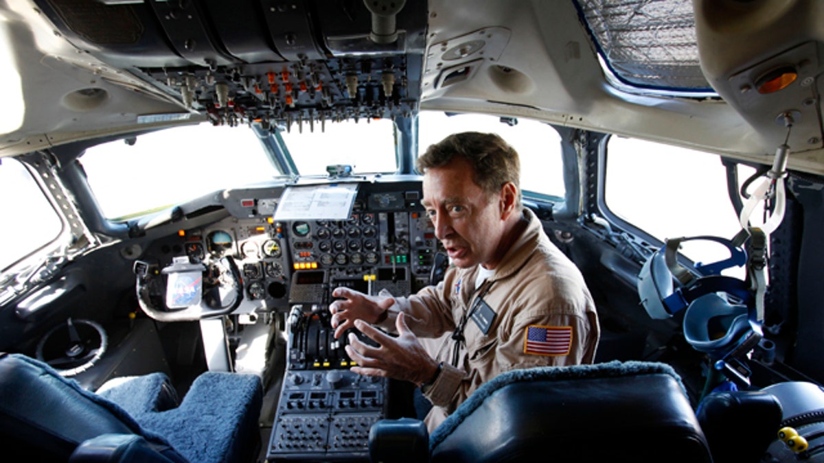
Flight engineer Bill Fleming sits in a plane cockpit as a team of NASA scientists prepare for a flight into Hurricane Earl to gather data about what makes some tropical storms intensify while others fizzle. The flight is part of a six-week NASA research mission to collect information that could help forecasters accurately predict how strong a hurricane will be. (AP Photo/Lynne Sladky)
FORT LAUDERDALE, Fla. – NASA scientists flew Thursday into Hurricane Earl to gather data about what makes some tropical storms strengthen into destructive hurricanes while most fizzle.
The flight is part of a six-week NASA research mission to collect information that could help forecasters accurately predict how strong a hurricane will be.
Forecasters have steadily improved their predictions for where a storm will go. Predicting which storm will intensify and when, and how strong it will be, still puzzles them. That's critical information for the public and emergency managers who need to know what to expect from a storm that makes landfall.
"If you can't tell the public what the impact will be, then you haven't done the important part of the job," said Edward Zipser, a University of Utah scientist working on the NASA project.
A former passenger airliner converted into a flying laboratory took off from Fort Lauderdale-Hollywood International Airport, bound for Earl as it spun toward the Outer Banks of North Carolina.
The DC-8 once carried more than 170 passengers and crew on international journeys. On Thursday, it carried about 30 researchers strapped into safety harnesses before metal cases for computers, monitors and other equipment. They planned to crisscross Earl's eye multiple times to look at the storm's structure and its surrounding environment.
"When you turn around and look at it, you see a wall of clouds," NASA pilot Dick Ewers said before takeoff.
Radar would guide him into Earl's core where rain falls down, surrounded by the circling storm's convective activity that pulls moisture up into the air.
"What I'm looking for is how intense it is and how high it goes," Ewers said. "I want to be above it."
A second airborne lab based in Houston and an unmanned California-based drone that can remain in the air up to 30 hours also are part of the mission that began Aug. 15 and continues through Sept. 25.
The Houston-based plane carries a new instrument that maps a storm's wind field at the water's surface, said NASA scientist Scott Braun.
"A lot of this is geared to seeing what that instrument can do," he said.
They are coordinating with separate flight teams from the National Science Foundation and the National Oceanic and Atmospheric Administration.
Last month, NOAA launched a squadron of aircraft to investigate a theory that there are pockets within storm systems that somehow nurture a hurricane's development. These manned aircraft and unmanned high-altitude surveillance drones are dropping probes that can send back a real-time, wide-ranging image of an entire storm system.
The NASA flights carry different instruments from the "hurricane hunters" that NOAA uses to study hurricanes. Those planes routinely fly into tropical storms with instruments that measure wind speeds, temperature and air pressure. The information tells forecasters how strong the storm is and how far the maximum winds extend.
NASA's DC-8 carries more sophisticated instruments that provide more details about a storm's structure than the hurricane hunters, Zipser said.
"That will help us in improving our numerical simulations of storms and our understanding of what makes them strengthen and weaken," he said. "It also is a testbed for future satellite instruments."
The Genesis and Rapid Intensification Processes mission is NASA's first U.S.-based hurricane research mission since 2001. In 2006, NASA flew aircraft off the Cape Verde Islands, looking at how storm systems form off the coast of Africa before they begin moving westward and feeding off the warm waters of the Atlantic.
Tropical storms have sustained wind speeds of at least 39 mph. They become hurricanes when those winds reach 74 mph; storms with sustained winds of at least 111 mph are considered major hurricanes.