


A slipup by Google Maps has sparked a diplomatic crisis in the Eurozone. (Google Maps)
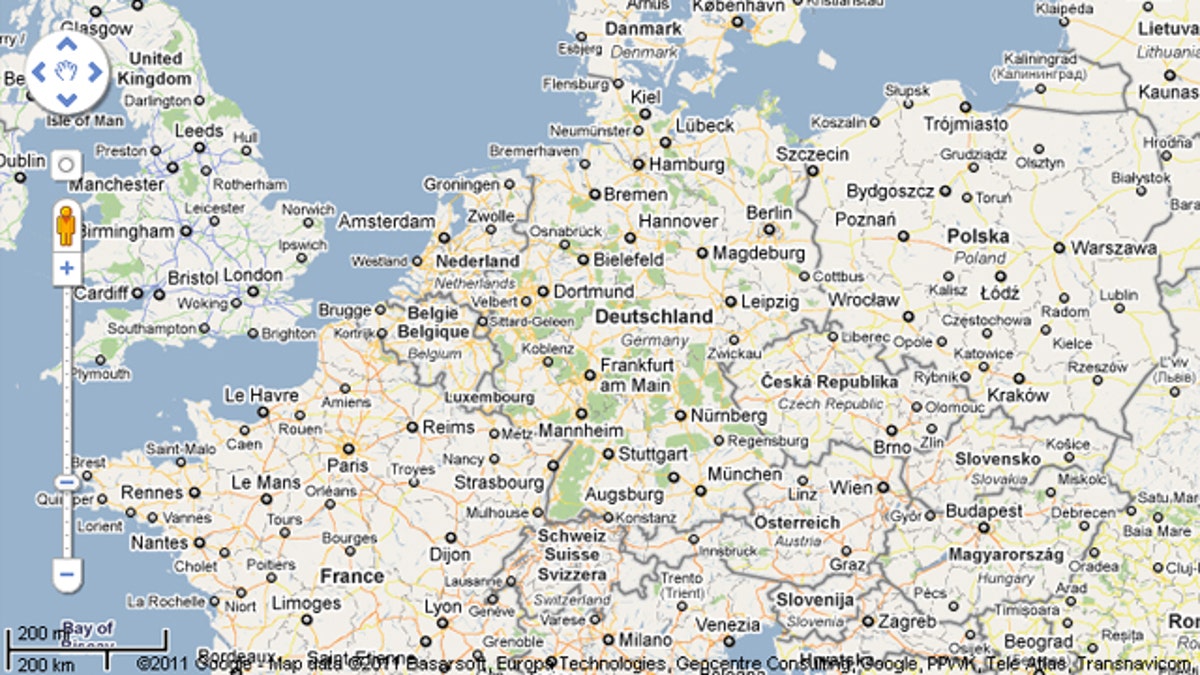
Google Maps was fixing an error in its map of a port city that reignited border tensions between Germany and The Netherlands, newspaper Suddeutsche Zeitung reported Monday.
The online mapping program placed most of the harbor in Emden, in the northern state of Lower Saxony, under Dutch sovereignty, the report said.
The exact location of the border running through the waters has been disputed since the 15th century.
According to the Dutch, the harbor in the middle of the Ems River estuary lies between the northern Netherlands and Germany, but Germans claim the entire estuary as their territory.
Google spokesman Stefan Keuchel said the issue would be reviewed immediately and "carefully examined," with a view to "adjustments" being made.
"We work hard to ensure that the data we provide is objectively interpreted. We are always happy to have questions raised and to discuss matters with organizations," he added.
It was not the first time Google made a mapping error that threatened to spark a diplomatic crisis.
In November, Google was forced to fix a mistake in its map of Central America that gave Nicaraguan commanders an excuse to invade a disputed area also claimed by Costa Rica.
At the time, Google's Latin America spokesman said that "no country should use this [map] to invade another."