(Credit: Fi Ningyou)
An uninhabited Japanese island has sparked mysterious conspiracy theories after it vanished from satellite images.
Esanbehanakitakojima Island was once used to mark Japan’s territorial waters.
According to the Japan Coast Guard, Esanbehanakitakojima was surveyed in 1987 and it was recorded as being just 1.4m above sea level.
Tomoo Fujii, a senior official of the coast guard, told reporters: “There is a possibility that the islet has been eroded by wind and snow and, as a result, disappeared."
But conspiracy theorists claim the island was removed from satellite pics by "a shadowy government agency" with the aim of redrawing territorial boundaries.
According to international law, nations can only claim waters around islands that are visible above the sea surface at high tide.
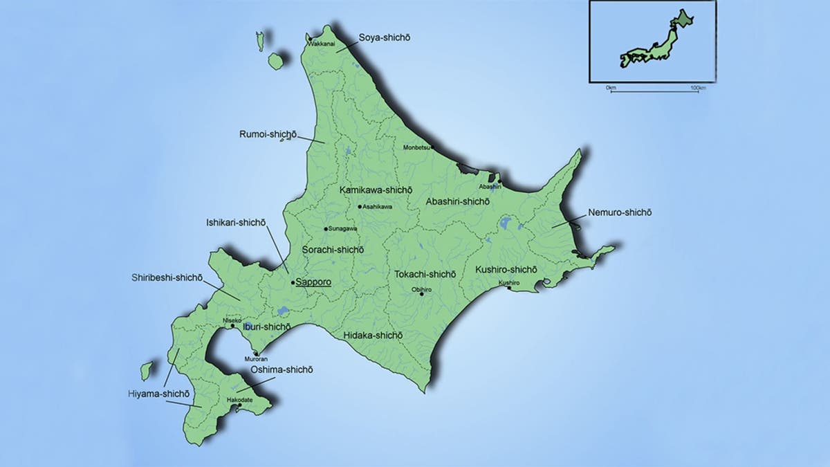
The island was found 500 meters off the coast of Sarufutsu village near the northern tip of Hokkaido, reported Asahi Shimbun.
A local author Hiroshi Shimizu noticed the island has disappeared and asked fishermen what had happened.
Other fishermen said that Esanbehanakitakojima shows up as an islet on navigation systems.
Japan Coast Guard is planning a search mission as the island seemingly disappeared off the northern coast of the country.
In 2014, the Japanese government officially named 158 uninhabited islands in its waters.
In a video on the Science Channel's Youtube page a narrator explains: “The disappearance of an entire island can sometimes be the result of a cataclysmic volcanic event.
“The weird thing is there's a weather station in the island, and it's still transmitting data, it wouldn't be doing that if the island were underwater.
“Perhaps the island hasn't vanished, just photographic evidence of it.
“Some believe a shadowy government agency has decided it should no longer exist on satellite images."
This story originally appeared in The Sun.

Get a daily look at what’s developing in science and technology throughout the world.