


Fox News Flash top headlines for April 8
Fox News Flash top headlines are here. Check out what's clicking on Foxnews.com.
I grew up in New Jersey, right next to a state park. I still remember riding my bike all day like it was yesterday. Oh, and the time I threw a snowball at a police car and hit the cop inside. That was bad.
Get smart, actionable tech news and tips like this daily in your inbox. Join 500K folks and get the Current. It’s free!
I hadn’t looked at the house in years, so seeing it on a map took me back. While you’re at it, take yourself on a walk down memory lane, too.
Blast from the past
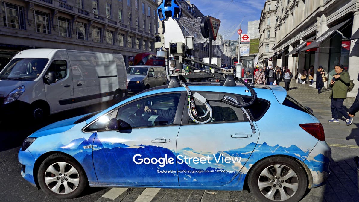
There's something special about seeing what the house you spent your childhood in looks like now — or you can flash back for as long as Google has been collecting pictures in that area.
- Open the Google Maps app and search for a place.
- At the bottom, tap the place name or address.
- Scroll and select the photo labeled Street View or select the thumbnail with a Street View icon.
- While viewing a location in Street View, tap anywhere on the image, then tap See more dates.
💡 I have an idea. While you’re looking at your old house, write down three memories in the Notes app on your phone. Next time you’re with the kids, show them the house and tell them a few stories. So fun!
WHY SOME PEOPLE STILL OPT FOR GLOBES IN AN ERA OF DIGITAL MAPPING
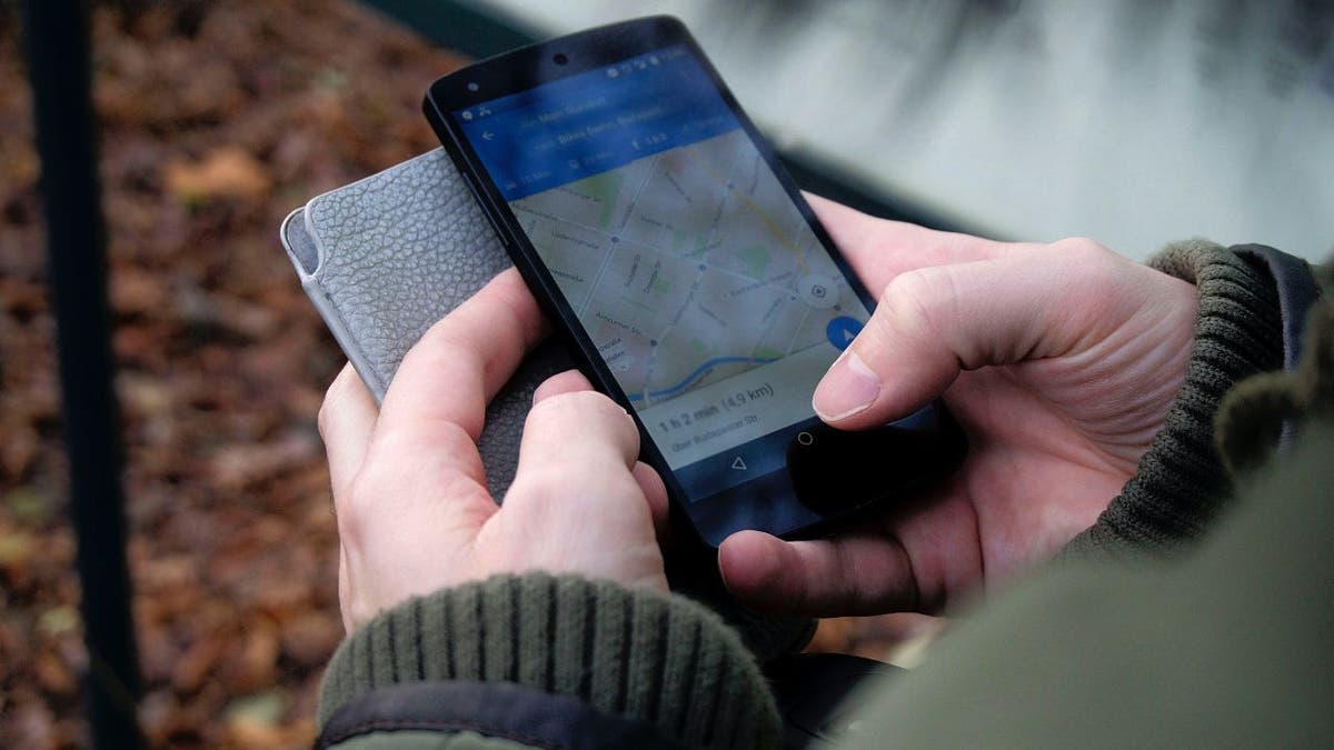
Plan ahead and save on gas
The longer you spend in traffic, the more gas you’ll burn. Google Maps helps you plan a future trip, taking in predicted traffic, routes, and road conditions along the way.
Here’s how to set a planned time and date for a trip:
- Open the Google Maps app and tap on the Search here field.
- Enter a destination and select it from the results.
- Tap Directions and then the three dots button to the right of the Your location field.
- Tap Set depart or arrive time.
- Select Depart at and enter a date and time, then tap Done.
- You’ll get various route options and details such as time and distance.
- Select a route and tap Start.
Step inside buildings
US AIRPORTS ADAPT TO TRAVEL SURGE BY EXPANDING USE OF TECHNOLOGY TO PROCESS PASSENGERS
With Google Maps, you can virtually visit the inside of places such as stores, airports, or hotels. It’s fun to check out photos of places uploaded by other people, too.
- Open the Google Maps app, tap the Search box.
- Enter a place's name or an address. Then, at the bottom, tap the place name or address.
- Scroll until you see photos and tap on a 360 photo. To see more photos of this location, tap Photos.
You might see a Directory option showing floor plans and restaurant and store lists. The numbers at the bottom of the screen allow you to move from floor to floor. The blue dot icon shows you where you are located in the building.
Bonus: Ahoy, matey
Let’s go from close to home to far away. Google Earth has captured images of thousands of shipwrecks over the decades. To snoop around, open Google Earth and search for the specific coordinates below:
50°23’42.35″N 125°57’25.64″W
64°10’34.46″N 51°43’20.85″W
40°33’24.59″N 74°13’6.22″W
Some people find this so fascinating, they’ve created giant interactive maps. Check out one of the largest here. Super cool, right?
Get tech-smarter on your schedule
CLICK HERE TO GET THE FOX NEWS APP
Award-winning host Kim Komando is your secret weapon for navigating tech.
- National radio: Airing on 500+ stations across the US - Find yours
- Daily Newsletter: 5-minute tech updates delivered to your inbox (free!)
- Watch: On Kim’s YouTube Channel
- Podcast: "Kim Komando Today" - Listen wherever you get podcasts
- Check out a recent episode: The reason your insurance is so expensive
Copyright 2024, WestStar Multimedia Entertainment. All rights reserved.
Related Article


Get a daily look at what’s developing in science and technology throughout the world.