


Whatever happened to Malaysia Airlines Flight 370?
A Houston company is finalizing a contract with the Malaysian government to resume the search; Doug McKelway takes a closer look for 'Special Report.'
A satellite communicated with the doomed MH370 jet close to where a "plane wreckage" has been spotted on Google Maps, it has been claimed.
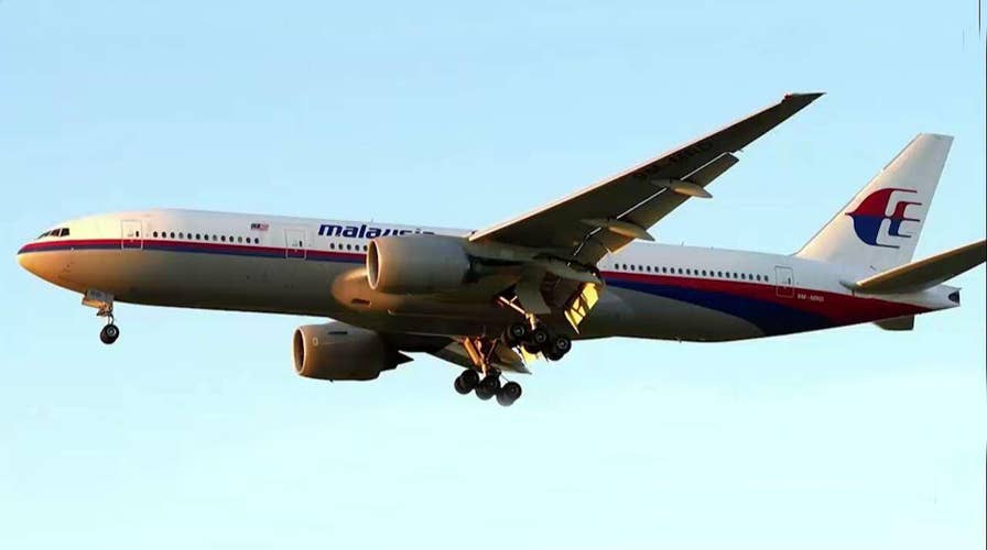
The Malaysian Airlines plane vanished on March 8, 2014, en route to Beijing from Kuala Lumpur sparking one of the greatest mysteries in aviation history.
Satellite company Inmarsat continued to exchange signals, known as “handshakes”, with the aircraft every hour before it crashed.
The firm has now released data which maps out two radius zones – spanning thousands of miles – where MH370 could have traveled.
One of the areas – known as the northern corridor – is where the satellite exchanged its last handshake with the troubled plane, reports the Daily Star.
This vast radius zone runs through Cambodia – along with several other countries.
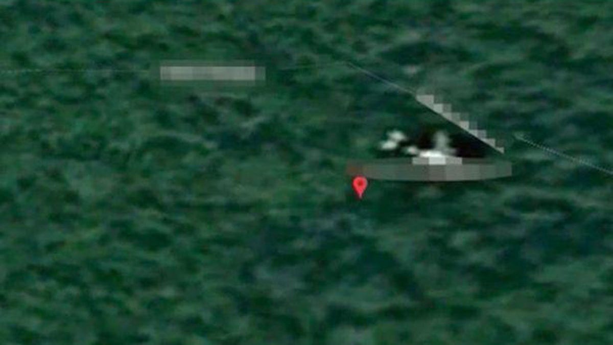
The image from the Cambodian jungle is where data from data from satellite firm Inmarsat maps shows where MH370 could have traveled. (Google Maps)
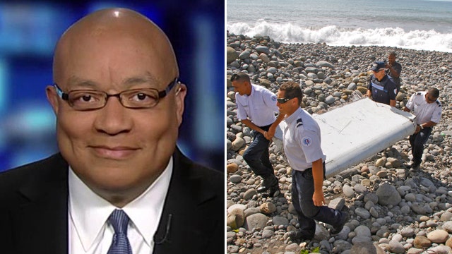
Earlier this month, British sleuth Ian Wilson believes he found the wreckage of MH370 using Google Maps - despite millions being spent on the search for the jet.
MH370 REPORT SAYS SOMEONE DELIBERATELY 'MANIPULATED’ PLANE’S CONTROLS
Expert speculates MH370 entered ocean gently as fuel ran out
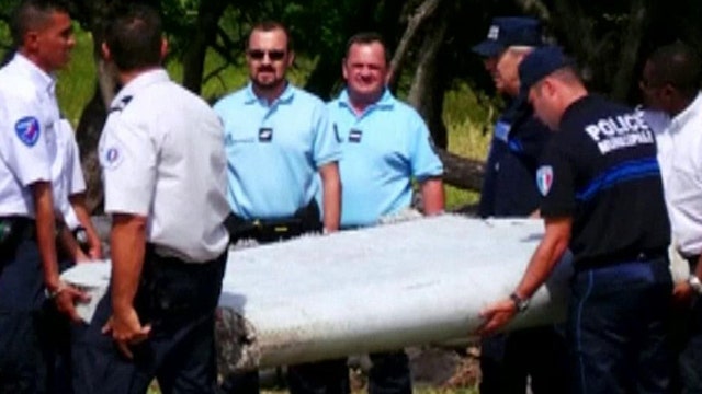
Aviation expert on what condition of wing fragment reveals
Video producer Wilson believes the plane is lying in a high-altitude area of the Cambodia jungle - 60 miles west of Phnom Penh.
The Brit, who says he found the image of the plane after spending “hours” searching on his own computer, now wants to visit the site himself.
After learning about Inmarsat’s data, Wilson told the Daily Star: “Initially I thought it crashed into the sea.
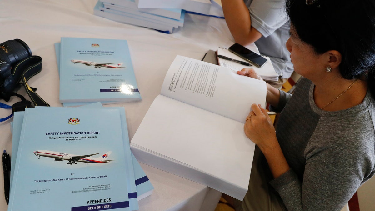
Malaysia issues a safety investigation report with detail analysis after a renewed search by a private U.S. firm for missing Flight 370 in the southern Indian Ocean ended two months ago without finding the wreckage. (AP Photo/Vincent Thian)
"But then there's the northern and southern corridors. That seventh ping is almost exactly where the plane is."
The northern corridor runs from southern China to Uzbekistan – a zone which spans over 1,400 miles – while the southern arc runs through the Indian Ocean where parts of the plane have been found.
Wilson's images from Google Maps show the outline of a large plane in a remote part of southern Cambodia – which could simply be an aircraft flying directly below the satellite which photographed it.

The image from Google Maps appears to show a large plane in the jungle in Cambodia. (Google Maps)
MH370 DISASTER: HOW NEW SPACE TECH CAN KEEP TRACK OF AIRCRAFT
Following the Brit's revelation, and with a $69M finder's fee up for grabs, a group of experts hired a helicopter to scour the area highlighted by Wilson.
However, on September 13, it was reported that the group had failed to find anything in the zone where Wilson believes the plane crashed.
New questions over the hunt for MH370
Aviation expert discusses the latest debris
The Chinese government also used observation company Space View to focus in on the high-altitude area of the south east Asian country.
However, the firm claim there was no sign of any plane, least of all the Malaysian Airlines aircraft.
In a tweet, Space View wrote: “Stakeholders and bystanders plead Space View to shoot at the site.
"So we found out three images, shot in 2015, 2016 and 2018 from our archive.
"Sorry, no plane found there."
In July this year, the Malaysian government released the findings of their investigation admitting they still do not know what happened to the passenger jet.
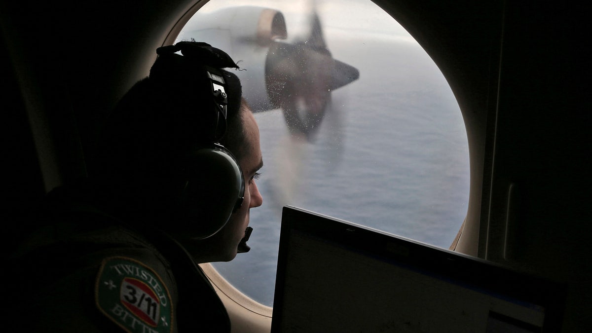
In this March 22, 2014, file photo, flight officer Rayan Gharazeddine scans the water in the southern Indian Ocean off Australia from a Royal Australian Air Force AP-3C Orion during a search for the missing Malaysia Airlines Flight MH370. (AP Photo/Rob Griffith)
This story originally appeared on The Sun. Read more content from The Sun here.