


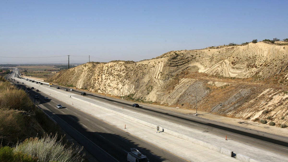
California's Antelope Valley freeway passes near folded layers of sediment above the San Andreas Fault near Palmdale, California June 22, 2006. (REUTERS/Lucas Jackson)
Large sections of land on either side of the San Andreas fault are moving up or down every year by a few millimeters, a major form of motion that researchers report in a new study that sheds light on the mechanics of the famous fault line.
Compared to the more predictable horizontal movement of the fault in between earthquakes, the vertical motion of the land on either side of the fault has been more mysterious, according to the study. The pattern the researchers found was hard to detect in the messy data, which came from an array of GPS sensors, so the scientists used a statistical method to make sense of it.
The up and down motion occurred in patches of land so big— about 125 miles wide— they can be described on the county level. Santa Barbara County, San Luis Obispo County, and a big section of San Bernardino County are rising at a few millimeters per year, The Los Angeles Times reported, while Orange County, San Diego County, and a large part of the Los Angeles Basin are sinking.
Related:
“While the San Andreas GPS data has been publicly available for more than a decade, the vertical component of the measurements had largely been ignored in tectonic investigations because of difficulties in interpreting the noisy data,” Samuel Howell, the lead author on the study and a Ph.D. candidate at the University of Hawaii, said in a statement.
“Using this technique, we were able to break down the noisy signals to isolate a simple vertical motion pattern that curiously straddled the San Andreas fault,” he added.
The new information about the fault’s motion can help the researchers better understand it as they keep an eye on it for the next big earthquake. And using GPS sensors to measure the vertical motion of faults can help scientists better comprehend them in general.
But the study’s lead author says the information won’t help them predict where and when a big temblor will occur. “It’s pretty much impossible to say when the next one will happen,” Howell told The Los Angeles Times.
The study was published in the journal Nature Geoscience.
Follow Rob Verger on Twitter: @robverger