


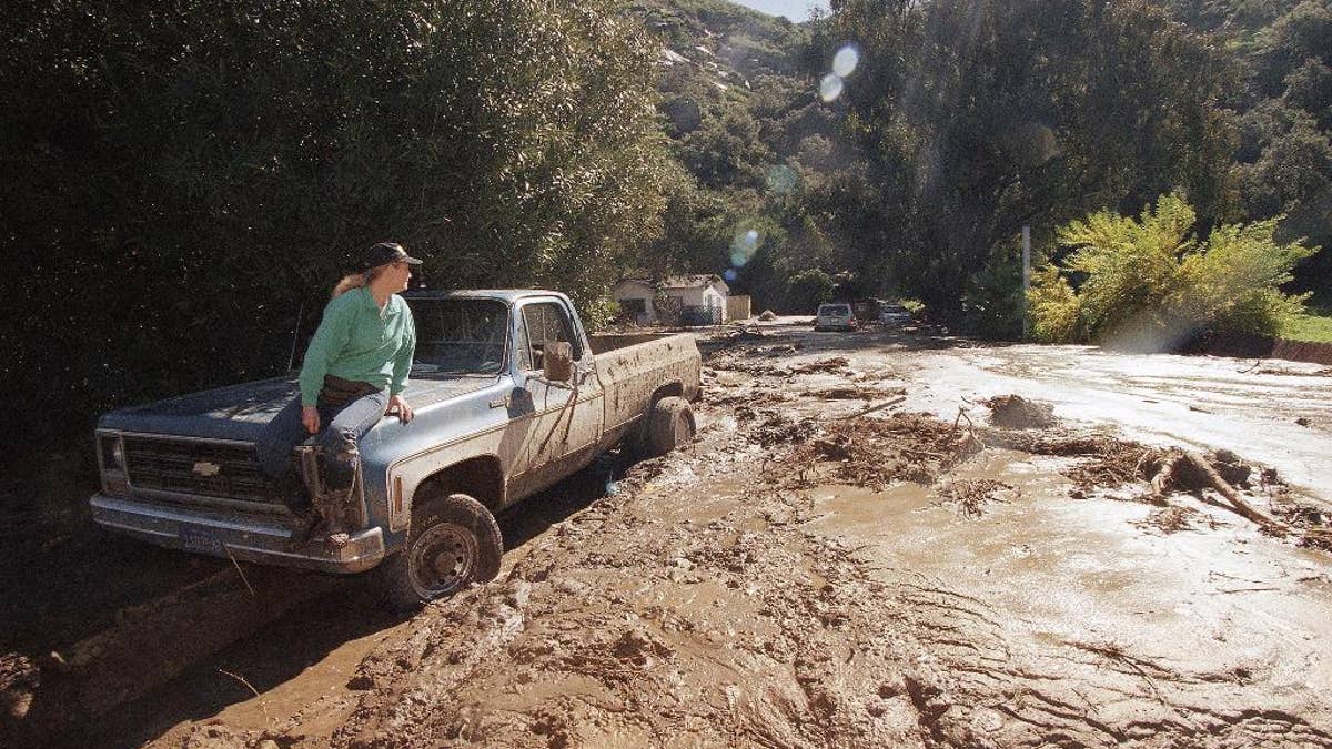
FILE - In this Feb. 24, 1998 file photo, a woman waits for a tow truck on the hood of her brother's pickup after a wall of mud plowed down Laguna Beach Canyon Road in Orange County, Calif. forcing her to evacuate her home, in background. A long anticipated El Nino weather warping is finally here. But for drought-struck California, it’s too little, too late, meteorologists say. The National Weather Service Thursday proclaimed the somewhat infamous weather phenomenon El Nino is now in place. It’s a warming of a certain patch of the central Pacific that changes weather patterns worldwide, associated with flooding in some places, droughts elsewhere, a generally warmer globe, and fewer Atlantic hurricanes. El Ninos are usually so important that economists even track it because of how it affects commodities. This year's El Nino that has arrived isn’t big and is late so it’s unlikely to do much to alleviate the current California drought. (AP Photo/Nick Ut, File) (The Associated Press)
The current El Nino has yet to pack a punch – and isn’t responsible for some of the strange weather already being seen in the United States.
Forecasters from the National Oceanic and Atmospheric Administration (NOAA) are still predicting with near certainty that this El Nino will last through the winter and will be the strongest since the 1997-98 El Nino and possibly the third strongest since 1950. The 1997-98 event sparked widespread storms and flooding that caused more than $4 billion in damage and killed 189 people nationwide.
Related: Monster El Nino expected to shape this winter's weather
El Niño - meaning in Spanish "the little boy, or Christ child" - is created when the equatorial waters of the Pacific Ocean warm significantly.
They are also forecasting wetter than average conditions out West from January to March and above average temperatures in the northern half of the contiguous U.S., Alaska and much of Hawaii. Below-average temperatures, meanwhile, are most likely in the southern Plains while much of the South will see wetter than average.
But Mike Halpert, deputy director, NOAA’s Climate Prediction Center, told reporters that the amounts of tropical rainfall associated with El Nino so far across the east-central Pacific and all the way to eastern part of the Pacific have been less than what was seen in other strong El Nino years like 1997-98.
Related: Forecasters warn this winter's El Nino could be historically strong
“There is significant difference between this event and (19)97 as well as 19(82). We’re not quite sure why that is,” Halpert said.
“If you look at the ocean temperatures, we know it’s warmer in the western part of the Pacific than it was during these other strong events but it’s actually a little cooler in the eastern part,” he said. “I think the reason why, at least at this point, the patterns have not been as strong has to do with the fact that the eastern part of the basin is warm – it comes out as the third warmest - but is significantly cooler than what we saw during (19)97 and (19)82 as well. ”
Halpert also said El Nino couldn’t be blamed on several weather trends of late, including storms and heavy rain that have hit the West Coast, record heat in Florida or the unusual warm conditions in the Northeast that are expected to see temperatures reach 60 degrees in New York City this week. There also has been a lack of snow across the region, including no measurable white stuff in Buffalo – breaking a 116 year record, according to The Associated Press.
Rather than El Nino, Halpert said the heat-wave of sorts in the Northeast can be blamed on the Arctic Oscillation (AO), which influences the number of arctic air masses that penetrate into the South and nor’easters on the East Coast. This time around, a positive Arctic Oscillation along with a strengthened polar vortex have shifted the jet streams to the north and trapped the cold air in the polar regions since early November.
Related: What does El Nino mean for travelers?
“While it has certainly been mild across the country, it’s not really something we would attribute to El Nino,” he told reporters. “The AO is probably playing a bigger role this time.”
But for Californians desperate for water, Halpert cautioned that the El Nino-inspired weather should be coming soon.
“People are wondering where the rain is. Don’t panic,” he told FoxNews.com. “The time when we are really looking for the rain is after the 1st of the year. We still expect January to March to be wetter than average throughout the whole state.”
Fox News Artificial Intelligence
Stay up-to-date on the latest AI technology advancements and learn about the challenges and opportunities AI
By entering your email and clicking the Subscribe button, you agree to the Fox News Privacy Policy and Terms of Use, and agree to receive content and promotional communications from Fox News. You understand that you can opt-out at any time.