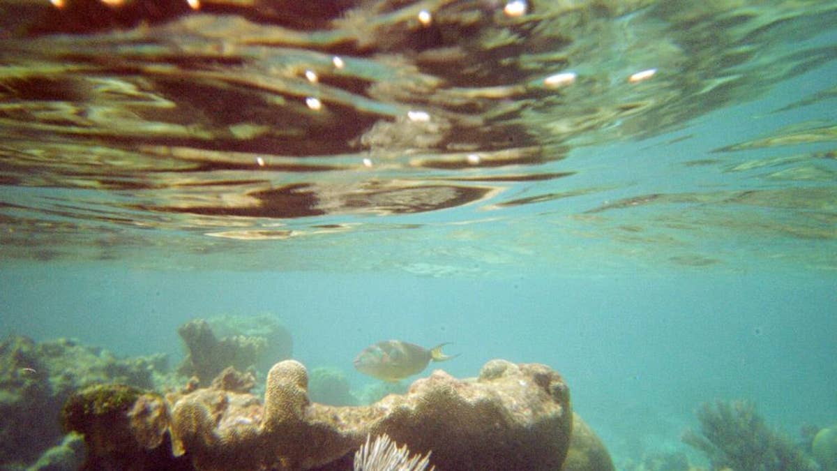
FILE - This April 6, 2005 file photo shows a coral reef and fish on a snorkeling trail off Buck Island near St. Croix, U.S. Virgin Islands. U.S. scientists on Tuesday, April 7, 2015 completed a nearly two-week mission to explore waters around the U.S. Virgin Islands as part of a 12-year project to map the Caribbean sea floor and help protect its reefs. (AP Photo/Brent Hoffman, File) (The Associated Press)
SAN JUAN, Puerto Rico – U.S. scientists have completed a nearly two-week mission to explore waters around the U.S. Virgin Islands as part of a 12-year project to map the Caribbean seafloor and help protect its reefs.
A National Oceanic and Atmospheric Administration team studied an area of 270 square miles (700 square kilometers) aboard the 187-foot (57-meter) research vessel Nancy Foster.
Lead researcher Tim Battista said Tuesday that the team focused on the northwestern region of St. Thomas and the southern end of St. Croix. Researchers used equipment including underwater gliders and a remotely operated vehicle to help map the seafloor and study fish populations.
The information will be used in efforts to conserve coral reefs as well as to update navigational charts and help government officials manage and better protect fish populations.

Fox News' "Antisemitism Exposed" newsletter brings you stories on the rising anti-Jewish prejudice across the U.S. and the world.