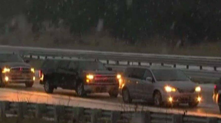
CHICAGO – A blanket of snow will cover the Great Lakes and the Northeast ahead of an expected dip into Arctic-cold temperatures.
The wintry weather mostly moved out of the Plains overnight, leaving parts of Minnesota with up to a foot of snow, and pushed into Wisconsin, Illinois and Indiana.
It's a "slap of reality" after a mild November, National Weather Service meteorologist Dave Schmidt in La Crosse, Wisconsin, said.
The Chicago area received 3 to 4 inches of snow as of Sunday morning, and could see another 3 to 5 inches Sunday. The city's aviation website said more than 1,200 flights had been canceled at O'Hare and 175 at Midway as of late Sunday morning.
In Indiana, up to 5 inches had fallen as of Sunday morning, with more expected. Michigan could see the heaviest snowfall, up to 10 inches. To the east, Cleveland could see up to 6 inches, while Burlington, Vermont, could get up to three.
The Ohio River valley and Mid-Atlantic will see a mix of snow, freezing rain and rain.
"For the rest of the day the best advice is just to stay off the road if you can, and otherwise go slow and give yourself more time to reach your destination," National Weather Service meteorologist Mark Steinwedel saind. "If you don't have to drive or go somewhere, stay home."
Temperatures 15 to 30 degrees below average will follow the cold rain and snow in the coming days through much of the Midwest and East.


