


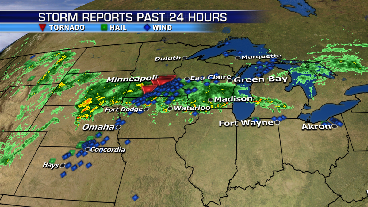
Severe weather brought tornadoes and reports of strong winds across the Midwest yesterday.
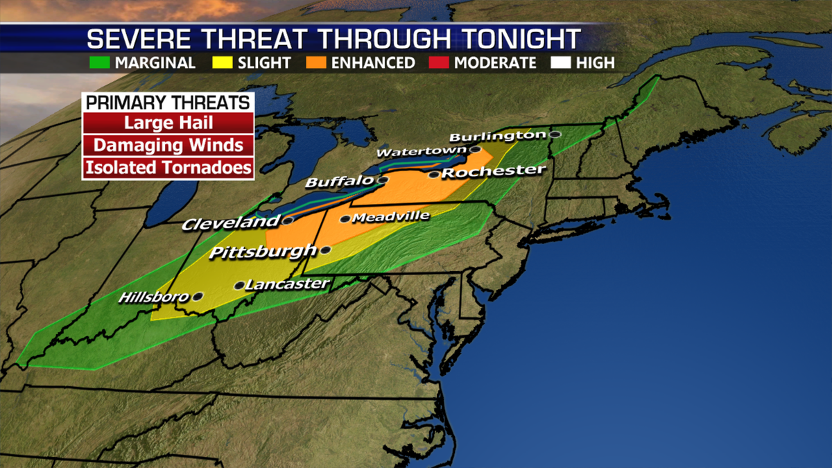
The threat will move east along a cold front from the Upper Mississippi Valley into the Great Lakes and Ohio Valley. The main risk will be damaging winds.
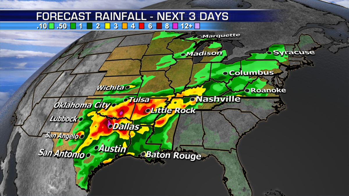
The tail end of this front could bring heavy rain across the southern Plains into the Lower Mississippi Valley through Saturday.
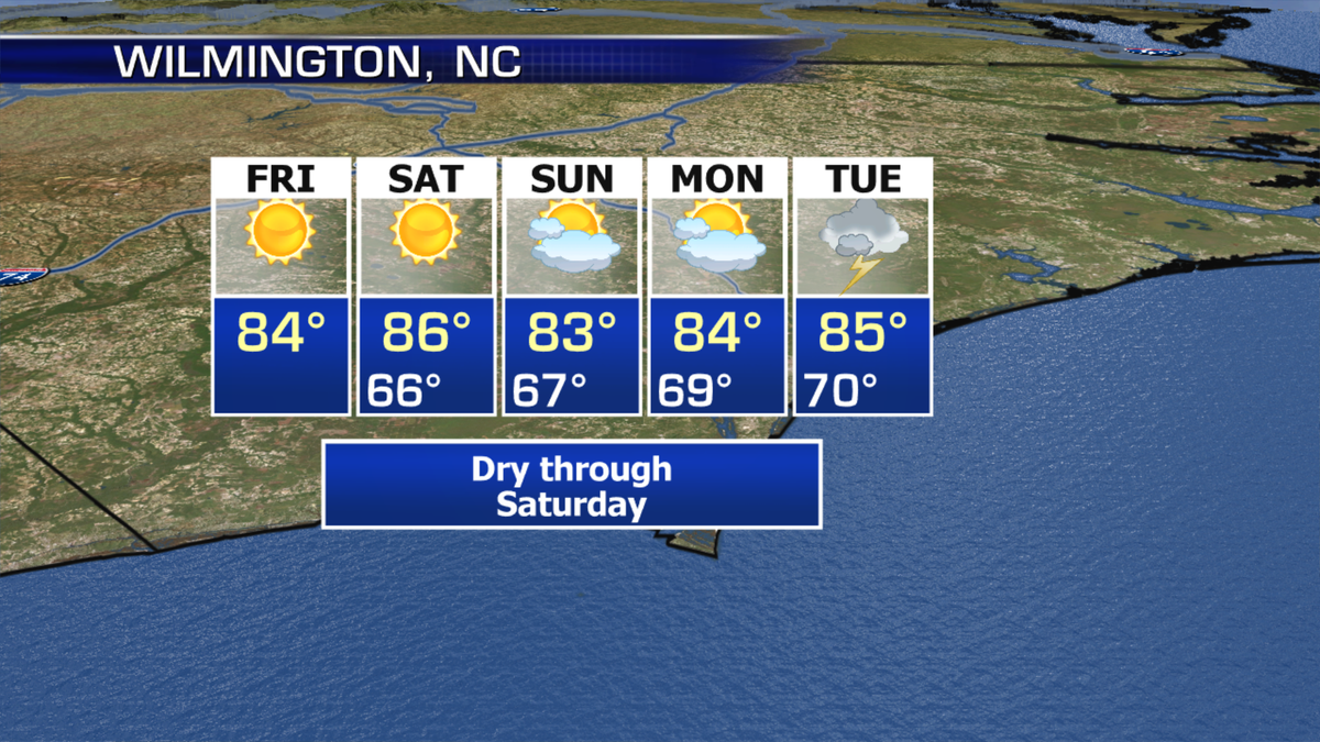
Meanwhile, major-to-record river flooding continues across the Carolinas despite the forecast for dry conditions.
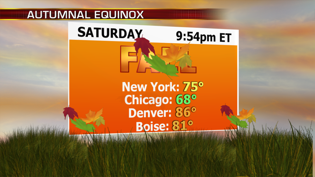
And the first day of fall arrives tomorrow. Bring on the sweater weather!

True Crime
The hottest stories ripped from the headlines, from crime to courts, legal and scandal.
By entering your email and clicking the Subscribe button, you agree to the Fox News Privacy Policy and Terms of Use, and agree to receive content and promotional communications from Fox News. You understand that you can opt-out at any time.
