


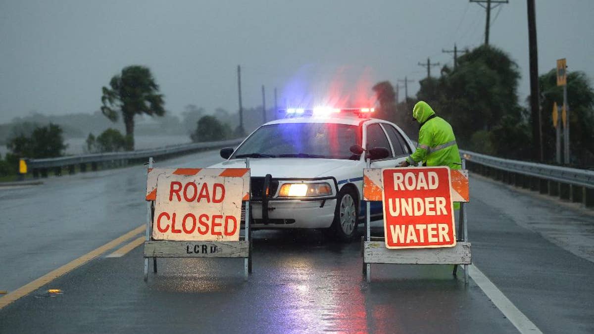
Police block the road entering Cedar Key, Fla., as Hurricane Hermine nears the Florida coast, Thursday, Sept. 1, 2016. Hurricane Hermine gained new strength Thursday evening and roared ever closer to Florida's Gulf Coast, where rough surf began smashing against docks and boathouses and people braced for the first direct hit on the state from a hurricane in over a decade. (AP Photo/John Raoux) (The Associated Press)
CARRABELLE, Florida – The Latest on Hurricane Hermine (all times local):
3:35 a.m.
Hurricane Hermine is moving inland over the eastern Florida Panhandle after making landfall in the state's Big Bend area Friday morning.
As of 3 a.m. EDT, the storm's center was about 25 miles east of Tallahassee and it was moving north-northeast near 14 mph.
It's the first hurricane to directly strike the Sunshine State in more than a decade, roaring in from the northwest Gulf Coast with 80-mph winds and heavy rains.
Hermine is expected to drop back down to a tropical storm before pushing into Georgia, the Carolinas and up the East Coast with the potential for drenching rain and deadly flooding.
___
1:55 a.m.
Forecasters say Hurricane Hermine has made landfall over northwest Florida just east of St. Marks.
It's the first hurricane to directly strike the Sunshine State in more than a decade, roaring in from the northwest Gulf Coast with 80-mph winds and heavy rains.
The U.S. National Hurricane Center says Hermine made landfall early Friday around 1:30 a.m. EDT.
Projected storm surges of up to 12 feet menaced the coastline and expected rainfall up to 10 inches carried the danger of flooding through the storm's path, including the state capital, Tallahassee, which hadn't been hit by a hurricane since Kate in 1985.
Hermine is expected to drop back down to a tropical storm before pushing into Georgia, the Carolinas and up the East Coast with the potential for drenching rain and deadly flooding.

True Crime
The hottest stories ripped from the headlines, from crime to courts, legal and scandal.
By entering your email and clicking the Subscribe button, you agree to the Fox News Privacy Policy and Terms of Use, and agree to receive content and promotional communications from Fox News. You understand that you can opt-out at any time.
