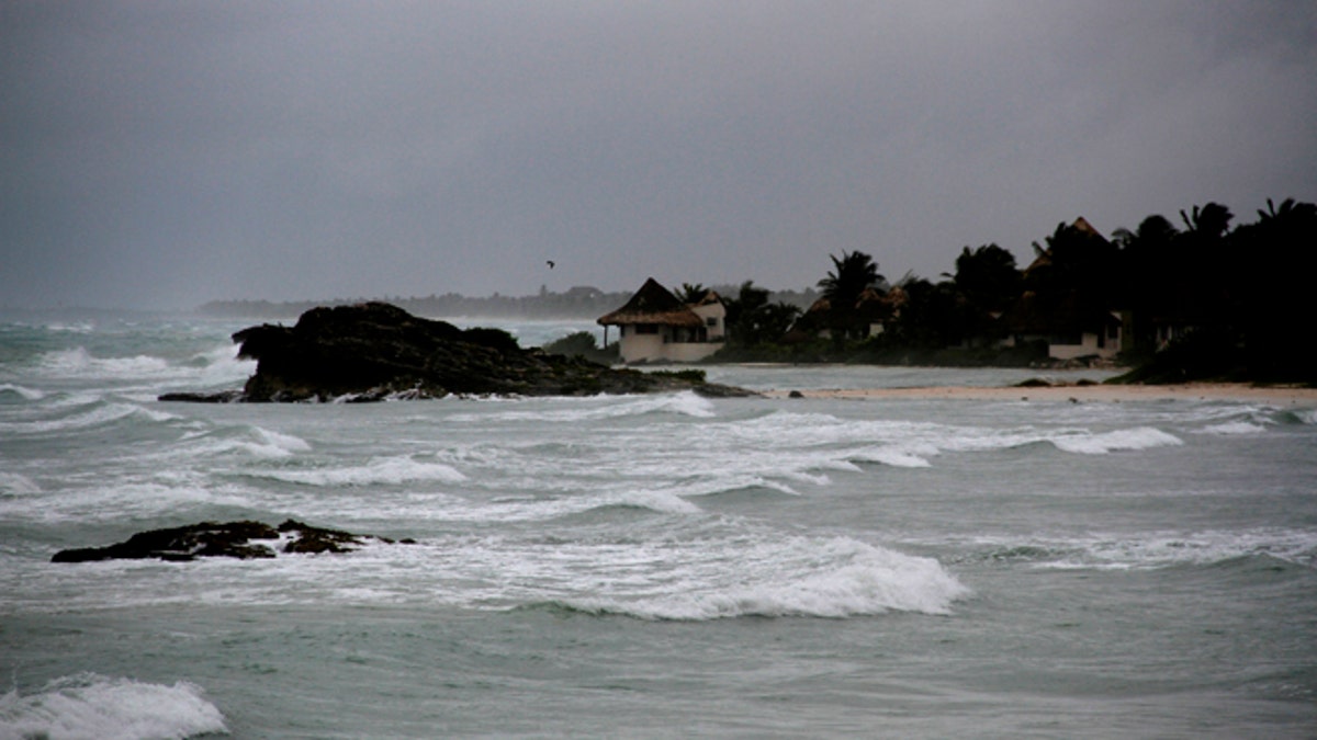
View of the beach in Tulum, Mexico, Tuesday, Aug. 7, 2012, as Tropical Storm Ernesto brings the threat of hurricane-force winds and torrential rains to the Caribbean coast. The heart of the storm was expected to hit south of Cancun and the Riviera Maya, though strong rain and winds were likely there, and officials prepared shelters there as a precaution. (AP Photo/Israel Leal) (AP2012)
Tropical Storm Ernesto made landfall last night as a Category 1 hurricane on the southern Yucatán coast near Mahahual, Mexico. Ernesto is the first hurricane to make landfall during the 2012 Atlantic Hurricane Season. Ernesto currently has winds of 50mph with higher gusts and will emerge over the Bay of Campeche later today.
Tropical Storm Warnings are posted for mainland Mexico as Ernesto is forecast to remain a tropical storm just before landfall Thursday early afternoon. Some re-strengthening is possible as the storm reemerges over the Bay of Campeche later tonight.
A hurricane watch is in effect from Barra de Nautla to Coatzacoalcos due to possible strengthening.
Heavy rainfall of four to eight inches with isolated amounts closer to 12" are expected. Flash flooding and mudslides are possible. A storm surge of two to four feet above normal tide levels will be possible across the Gulf Coast of Mexico as the storm nears.
Elsewhere in the tropics, we are monitoring a wave well east of the Windward Islands for potential development over the next several days. The National Hurricane Center has given this area of low pressure a 30 percent chance of developing into a tropical cyclone within the next 48 hours. If it becomes a named storm, its name will be Gordon.
An updated 2012 Atlantic hurricane seasonal outlook will be issued by NOAA’s Climate Prediction Center tomorrow, Thursday, August 9th.
Follow us on twitter.com/foxnewslatino
Like us at facebook.com/foxnewslatino

Fox News' "Antisemitism Exposed" newsletter brings you stories on the rising anti-Jewish prejudice across the U.S. and the world.