


(Credits: NOAA)
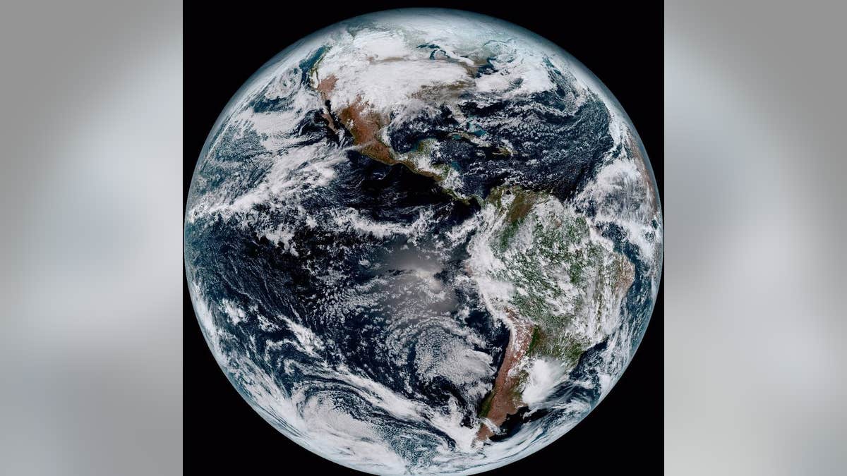
GOES-16, the fancy new satellite developed by the National Oceanic and Atmospheric Administration, is sending its first photos back to Earth since it lifted off from Cape Canaveral on Nov. 19, and the high-res results are causing astronomers and meteorologists to squeal with delight.
One developer compared it to seeing a newborn baby's first pics—"it's that exciting for us," NOAA reports. Space.com calls the super high-res images "jaw-dropping," while NASA reports that the first images, from 22,300 miles up, catch details including dust blowing off the coast of Africa, shallow waters in the Caribbean, and mountain wave clouds in Argentina.
(See a gallery here.) The hope is that viewing our own planet and the atmosphere around it in such detail ("high definition from the heavens," per NOAA) will provide data for more accurate weather forecasts that could save lives.
AccuWeather reports that the "stunning" images boast resolution that is four times greater than the capability of the best current satellites. NOAA says the second (GOES-S) in a series of four sophisticated satellites is undergoing a year of testing at Lockheed Martin’s Corporation facility in Littleton, Colo., and NASA reports that it is expected to launch in 2018.
More From Newser
GOES-16 captures a full image of Earth every 15 minutes and one of the continental US every five minutes, and it can scan five times faster than current GOES imagers.
(Here's how NASA scouts asteroids.)
This article originally appeared on Newser: New Satellite Sends Back 'Jaw-Dropping' Images of Earth