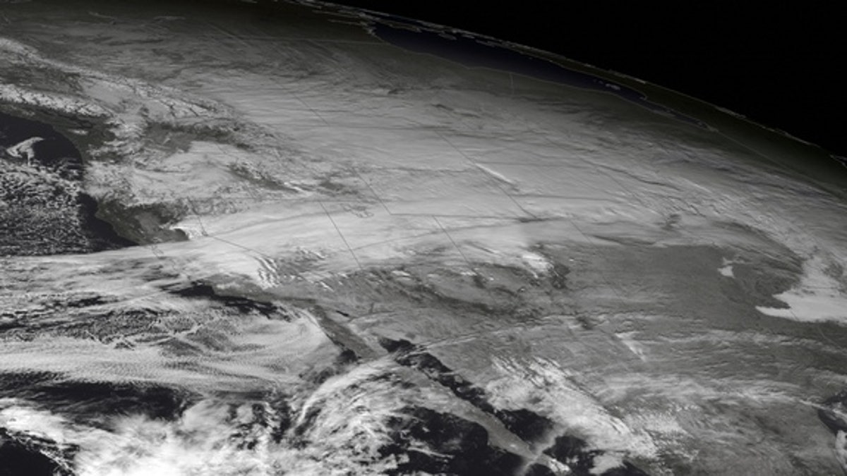
The GOES West satellite snapped this image of a major winter storm affecting the West and Northern Plains on Dec. 3, 2013. The storm dumped snow and sent temperatures diving well below normal. (NOAA)
Unlike the balmy, decidedly un-December like weather that has enveloped parts of the eastern United States, the West and Midwest have gotten a harsh blast of winter thanks to a powerful storm that blanketed a large swath of the country. The massive storm was spotted from orbit by the GOES West satellite on Dec. 3, as seen in the image above.
The storm has dumped large amounts of snow and sent bone-chilling winds rushing across affected areas. It also brought temperatures that were much colder than average. Big Hole National Park, in Montana, reported a temperature of minus 31.9 degrees Fahrenheit Thursday morning, and the National Weather Service reported snowfalls in the area from an inch to more than a foot.
Snow currently covers most of the Northern Plains, and is expected to continue through today, with the system gradually moving eastward and bringing snow and a mix of snow, ice and rain to areas from the Ohio Valley up to Albany, N.Y., according to Accuweather. Accuweather also warns that a severe ice storm could unfold from North Texas up through Kentucky, potentially causing power outages and dangerous road conditions.
Copyright 2013 LiveScience, a TechMediaNetwork company. All rights reserved. This material may not be published, broadcast, rewritten or redistributed.

Get a daily look at what’s developing in science and technology throughout the world.