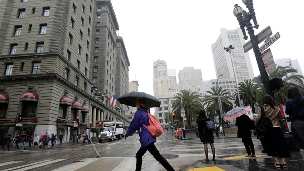
A woman carries an umbrella as she crosses Powell Street n San Francisco, Thursday, March 3, 2016. Light rain has started in the San Francisco Bay Area as the region braces for a series of storms expected this weekend and into next week. (AP Photo/Jeff Chiu)
SAN FRANCISCO – A major storm system is expected to start impacting the western, central and southern United States late Friday and continue through next week, the National Weather Service said.
Heavy rainfall, mountain snow, and strong winds will impact the West Coast and Intermountain West this weekend and early next week. Heavy rainfall and severe weather will be possible in the central and southern U.S. starting on Monday and continue through the rest of the week. Residual river flooding is also possible.
Scattered light showers fell around Northern California early Friday and were expected to continue on and off overnight before becoming steady and heavy through Saturday evening as a strong cold front crosses the region, the NWS San Francisco office said.
Southern California will see rain arrive slightly later than in the north, approaching late Saturday and lasting into early Sunday.
The NWS says a seven-day total could approach 20 inches of rain in Northern California and up to three inches in the southern end of the state.
In the northern part of the state, forecasters say that with the rain will be blustery winds, possibly up to 60 mph. The strong winds could bring down trees and power lines leading to scattered power outages, the agency said.
Bob Benjamin, a forecaster with the National Weather Service says the agency has issued a wind advisory beginning at noon on Saturday with winds expected to be around 15 to 20 mph and gusts up to 50 mph.
Flash flood watches were to go into effect in the state's far northwestern and central areas as well as the Sierra Nevada, where snow totals could range from 2 feet to 4 feet at elevations above 8,000 feet. Sierra snow levels will lower to near 4,000 feet by Sunday, forecasters said.
The Sierra snowpack, which normally stores about 30 percent of California's water supply, was only 83 percent of the March 1 average when it was measured earlier this week. That's much better than a year earlier, but after years of drought nearly all the state's major reservoirs hold far less water than average by this time of year, the Department of Water Resources said.
On Friday afternoon, state maintenance crews in South Lake Tahoe were clearing a large amount of snow, 14 feet high in some areas, to reopen State Route 89 over Emerald Bay to motorists. This four-mile stretch of the scenic highway has as many as 15 active slide zones and has been closed several times during this El Nino winter when it became unsafe for the travelers.
California is not the only place expecting severe weather. Conditions are especially ripe for tornadoes in the Southeast and Great Plains. Specifically, he said, that means Louisiana, Texas, Oklahoma, Arkansas, Missouri, Kentucky, southern Illinois, Alabama, Mississippi, Georgia, Florida, North and South Carolina and parts of Virginia.
Starting on Monday and continuing into the rest of next week, ample moisture will be pulled in from the gulf ahead of a slow moving cold front, leading to days of rain for a large swath of the central and southern U.S., stretching from the central Gulf Coast up through to the Ohio Valley.
The greatest threat for heaviest accumulations of rain are northeast Texas into Arkansas and Louisiana and other parts of the lower or middle Mississippi River Valley, where 5-day rain rainfall totals could exceed or 7 or 8 inches.

